Showing 1–12 of 75 results
-

Map of Australia and New Zealand after Cook’s First Voyage to the Pacific
£1,000ZATTA, Antonio.
Published In 1776
Stock No. 24599 -

A 16th century town plan of Tangier
£220VALEGIO, Francesco.
Published In 1598
Stock No. 24217 -

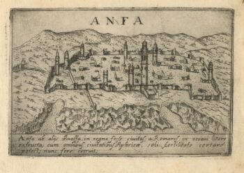
A 16th century town plan of Casablanca
£240VALEGIO, Francesco.
Published In 1598
Stock No. 24215 -

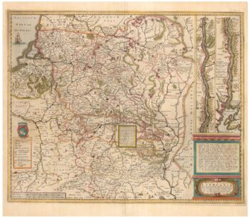
An early example of this 17th century map of Lithuania
£1,200HONDIUS, Henricus.
Published In 1640
Stock No. 24390 -

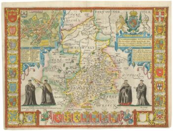
A rare issue of Speed’s map of Cambridgeshire
£2,200SPEED, John.
Published In 1665
Stock No. 24020 -

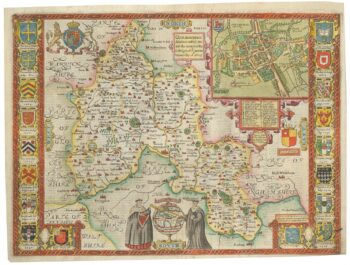
A scarce edition of John Speed’s map of Oxfordshire
£1,600SPEED, John.
Published In 1616
Stock No. 24019 -

A mid-19th century map of Polynesia with decorative vignettes
£110TALLIS, John.
Published In 1851
Stock No. 21597 -

18th century illustration of a sundial
£160THOMAS, Corbinianus.
Published In 1730
Stock No. 21490 -

A 16th century map of Morocco
£700ORTELIUS, Abraham.
Published In 1601
Stock No. 23718 -

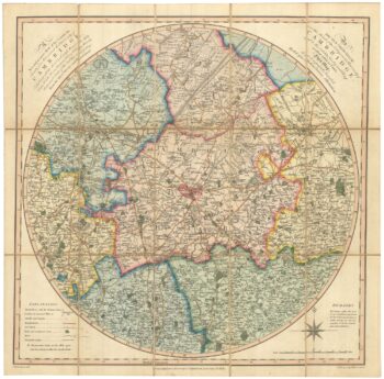
An early 19th century circular map of the environs of Cambridge
£400RICHARDSON, J.
Published In 1828
Stock No. 23649 -

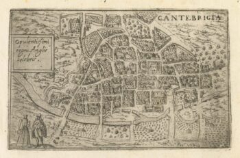
A 16th century Italian plan of Cambridge
£500VALEGIO, Francesco.
Published In 1598
Stock No. 24132 -

A 17th century illustration of an armillary sphere
£180MALLET, Alain Manesson.
Published In 1683
Stock No. 23928