Showing 1–12 of 31 results
-

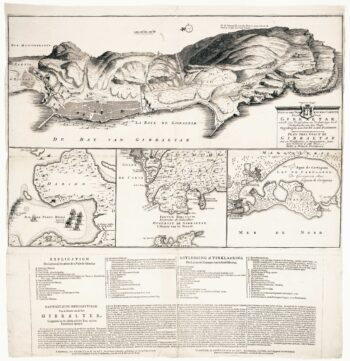
Dutch broadsheet of the Anglo-Spanish War, 1727-9
£900LETH, Andries de.
Published In 1727
Stock No. 22698 -

A scarce edition of Speed’s map of the Isle of Wight
£800SPEED, John.
Published In 1665
Stock No. 23823 -

A mid-18th century map of Taiwan
£360BELLIN, Jacques-Nicolas.
Published In 1748
Stock No. 23668 -

A 17th century old map of the Gulf of Guinea in West Africa
£500JANSSON, Jan.
Published In 1680
Stock No. 23630 -

The British capture of Gibraltar in 1704
£800DECKER, Paul.
Published In 1720
Stock No. 23319 -

Du Val’s folio map of the slave forts of the Gulf of Guinea
£480DU VAL, Pierre.
Published In 1671
Stock No. 23256 -

Dutch sea chart of the harbour of Gibraltar
£450KEULEN, Johannes van.
Published In 1630
Stock No. 22708 -

Important map of Taiwan according to the Dutch East India Company
£6,500VALENTYN, François.
Published In 1726
Stock No. 22749 -

Guinea from the first English Edition of the ‘Atlas Minor’
£160HONDIUS, Jodocus.
Published In 1635
Stock No. 22454 -

West Africa with the infamous ‘Mountains of Kong’
£110NEELE & SON.
Published In 1822
Stock No. 22432 -

Plan of Gibraltar in 1738
£280BASIRE, James.
Published In 1745
Stock No. 22152 -

18th century Dutch sea chart of the Strait of Gibraltar.
£200TIRION, Isaak.
Published In 1759
Stock No. 22010