Showing 1–12 of 52 results
-

An early woodcut map of England
£1,000MUNSTER, Sebastian.
Published In 1572
Stock No. 24564 -

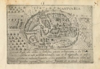
A 16th century Italian plan of Canterbury
£280VALEGIO, Francesco.
Published In 1598
Stock No. 24131 -

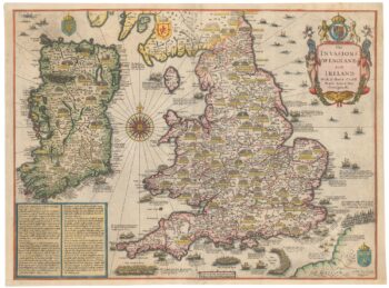
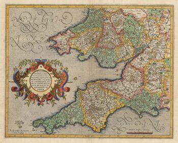
Vrients’s scarce map of England, Wales & Ireland
£4,250VRIENTS, Jan Baptist.
Published In 1612
Stock No. 20271 -

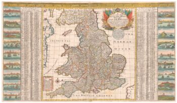
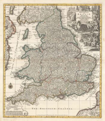
A scarce two-sheet map of England and Wales with side panels
£3,000WILLDEY, George.
Published In 1715
Stock No. 24165 -

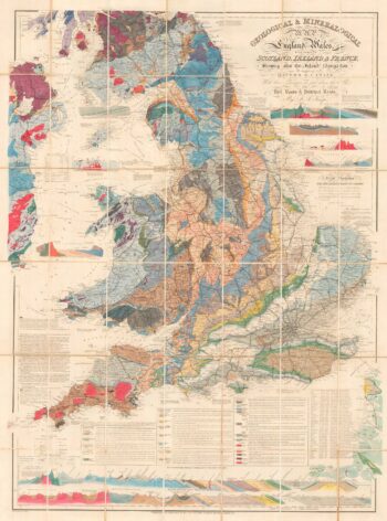
A detailed geological map of England and Wales
£1,500KNIPE, James Alexander.
Published In 1870
Stock No. 23418 -

Speed’s map of the wars of England
£1,800SPEED, John.
Published In 1665
Stock No. 23791 -

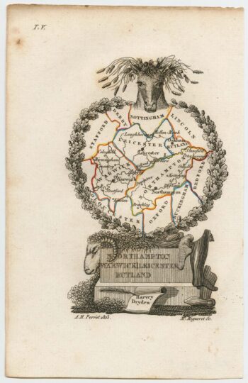
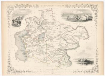
Miniature map of the East Midlands
£60PERROT, Aristide Michel.
Published In 1828
Stock No. 23304 -

England divided into the Saxon Heptarchy
£380SEUTTER, Matthaus.
Published In 1740
Stock No. 22311 -

A leaf of Saxton’s ‘Traveller’s Guide’ of England and Wales
£900SAXTON, Christopher.
Published In 1700
Stock No. 24050 -

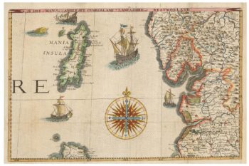
Mercator’s map of south west England
£380MERCATOR, Gerard.
Published In 1613
Stock No. 23867 -

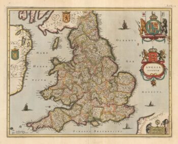
Early issue of Jansson’s map of England and Wales
£450JANSSON, Jan.
Published In 1638
Stock No. 23862 -

Map of the arena of the Great Game
£180TALLIS, John.
Published In 1851
Stock No. 23506