Showing 1–12 of 17 results
-

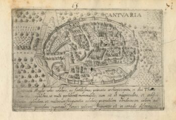
A 16th century Italian plan of Canterbury
£280VALEGIO, Francesco.
Published In 1598
Stock No. 24131 -

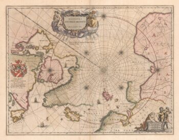
A scarce 16th century map of the South Pole and the Strait of Magellan
£3,000WYTFLIET, Cornelis van.
Published In 1597
Stock No. 23439 -

A 17th century map of the early exploration of the Arctic Circle
£1,250BLAEU, Johannes.
Published In 1662
Stock No. 23200 -

A 17th century townplan of Dover
£120HERMANNIDES, Rutger.
Published In 1661
Stock No. 22789 -

Early bird’s-eye map-view of Canterbury
£900BRAUN, Georg & HOGENBERG, Frans.
Published In 1588
Stock No. 22168 -

Martin Frobisher’s voyage in search of the North West Passage
£650AA, Pieter van der.
Published In 1714
Stock No. 22079 -

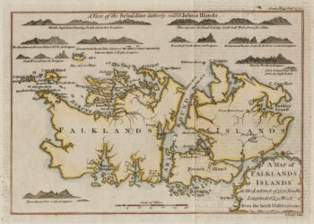
18th century map of the Falkland Islands
£100LODGE, John.
Published In 1770
Stock No. 22014 -

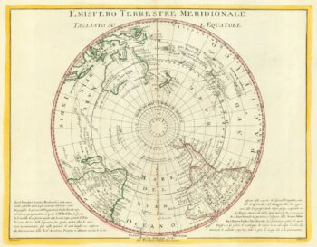
The scarce Dublin edition of Cook’s map of the Southern Hemisphere
£1,200COOK, James.
Published In 1777
Stock No. 21960 -

A 17th century Dutch sea chart of the North Atlantic
£1,350GOOS, Pieter.
Published In 1670
Stock No. 21871 -

Pair of 18th century maps of the North & South hemispheres
£800ZATTA, Antonio.
Published In 1779
Stock No. 19315 -

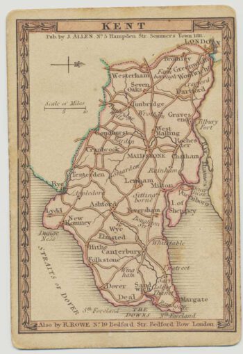
A scarce playing-card map of Kent
£500ALLEN, Joseph.
Published In 1811
Stock No. 18725 -

Map of Chile and Argentina with vignettes
£120TALLIS, John.
Published In 1851
Stock No. 18805