Showing 1–12 of 74 results
-

A 16th century woodcut map of Poland, Lithuania and Hungary
£700MUNSTER, Sebastian.
Published In 1572
Stock No. 24574 -

A scarce 18th century map of the Polish-Lithuanian Commonwealth
£950NOLIN, Jean Baptiste jnr.
Published In 1742
Stock No. 24544 -

A 17th century map of Poland
£750DE ROSSI, Giovanni Giacomo.
Published In 1685
Stock No. 24518 -

Four scarce Italian playing cards depicting Poland
£850Anonymous.
Published In 1790
Stock No. 24241 -

16th century woodblock map of Silesia
£300MUNSTER, Sebastian.
Published In 1572
Stock No. 24582 -

Seven scarce Italian playing cards depicting Russia
£480Anonymous.
Published In 1790
Stock No. 24360 -
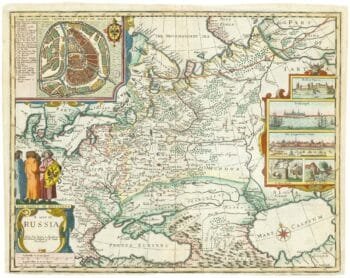
Russia, from the first English atlas of the World
£2,200SPEED, John.
Published In 1676
Stock No. 23731 -

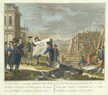
The founding of St Petersburg by Peter the Great
£700ZATTA, Antonio.
Published In 1797
Stock No. 24504 -

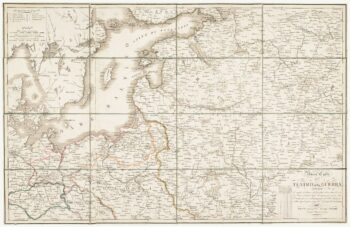
Detailed folding map of the ‘Patriotic War of 1812’
£550VALLARDI, Guiseppe and Pietro.
Published In 1808
Stock No. 22675 -

Detailed folding map of the ‘Patriotic War of 1812’
£960SUKHTELEN & OPPERMAN.
Published In 1808
Stock No. 22673 -

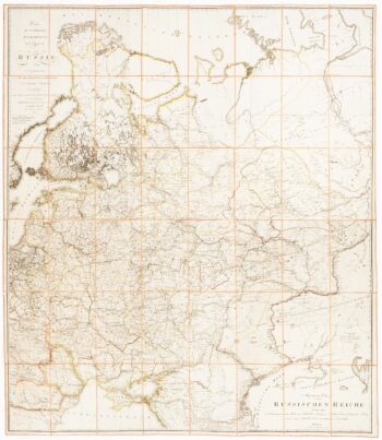
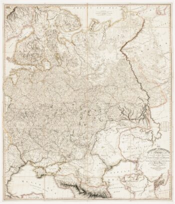
Detailed early 19th century folding map of Russia
£600NANTIAT, Jasper.
Published In 1808
Stock No. 22670 -

A 16th century Italian plan of Moscow
£450VALEGIO, Francesco.
Published In 1598
Stock No. 24142