Showing 1–12 of 77 results
-

The English edition of Du Halde’s map of Guangdong
£1,600DU HALDE, Johann Baptiste.
Published In 1738
Stock No. 24558 -

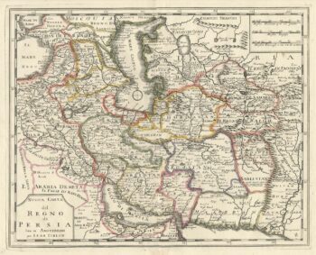
An 18th century Italian map of Persia
£300TIRION, Isaak.
Published In 1740
Stock No. 24550 -

18th century map of China
£320TIRION, Isaak.
Published In 1740
Stock No. 24547 -

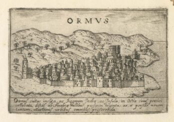
A 16th century Italian plan of Hormuz
£200VALEGIO, Francesco.
Published In 1598
Stock No. 24138 -

A 17th century map of Persia
£380MERIAN, Matthaus.
Published In 1650
Stock No. 20494 -

Victorian map of China with views of Hong Kong and Canton
£250TALLIS, John.
Published In 1851
Stock No. 23537 -

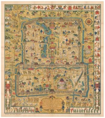
A pictorial map of Beijing in the 1930s
£3,000DORN, Frank.
Published In 1936
Stock No. 24392 -

The map of China from the first English atlas of the world
£3,700SPEED, John.
Published In 1665
Stock No. 23978 -

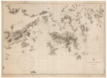
19th century Spanish sea chart of the Yellow Sea and Korea
£2,200BRYANT, Tomas.
Published In 1866
Stock No. 12450 -

A 19th century American sea chart of Hong Kong
£3,500BREWER, H.G.
Published In 1916
Stock No. 23973 -
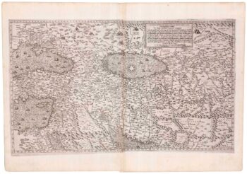
A rare map of the Middle East, published by Lafreri
£27,500GASTALDI, Giacomo.
Published In 1561
Stock No. 23975 -

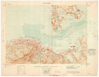
A detailed map of Victoria in the 1930s
£4,500WAR OFFICE.
Published In 1930
Stock No. 23458