Showing 25–36 of 70 results
-

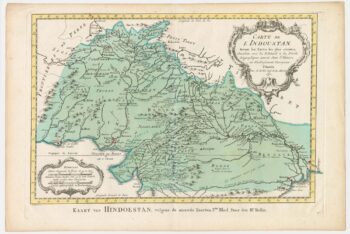
18th century map of Northern India and Pakistan
£160BELLIN, Jacques-Nicolas.
Published In 1773
Stock No. 23914 -

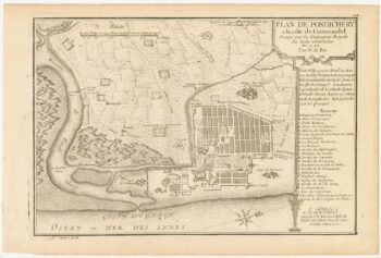
A plan of Puducherry at the beginning of the 18th century
£160FER, Nicolas de.
Published In 1705
Stock No. 23913 -

A late 18th century French map of India
£140MENTELLE, Edme.
Published In 1797
Stock No. 23905 -

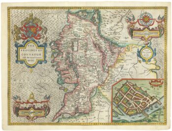
A 17th century map of Connaught
£800SPEED, John.
Published In 1665
Stock No. 23784 -

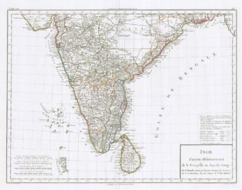
Map of Southern India
£220BOWEN, Emanuel.
Published In 1744
Stock No. 23764 -

Map of Peru and Bolivia with vignette scenes
£140TALLIS, John.
Published In 1851
Stock No. 23528 -

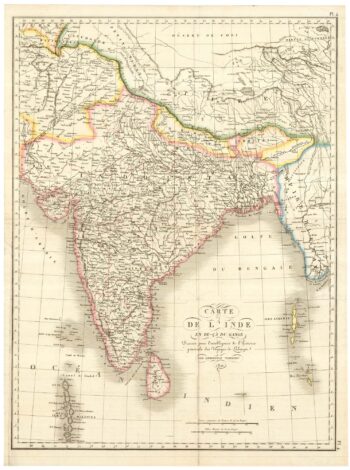
India in the early 19th Century
£185TARDIEU, Ambroise.
Published In 1821
Stock No. 23488 -

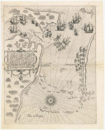
The first European map of Singapore
£6,500DE BRY, Theodore.
Published In 1603
Stock No. 23471 -

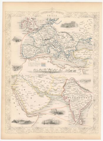
Mid 19th century map of the different post routes to India
£170TALLIS, John.
Published In 1851
Stock No. 23495 -

17th century map of Dorset
£600BLAEU, Johannes.
Published In 1662
Stock No. 22703 -

Mid-19th century map of Northern India with decorative vignettes
£170TALLIS, John.
Published In 1851
Stock No. 21605 -

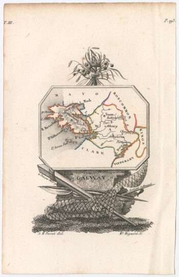
Miniature map of Galway
£110PERROT, Aristide Michel.
Published In 1828
Stock No. 23128