Showing 1–12 of 47 results
-

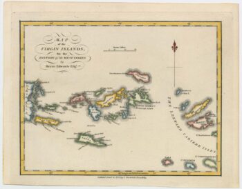
An 18th century map of the Virgin Islands
£700EDWARDS, Bryan.
Published In 1794
Stock No. 24169 -

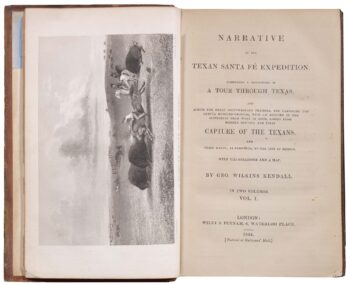
An account of the Texan Santa F? Expedition
£1,000KENDALL, George Wilkins.
Published In 1844
Stock No. 23853 -

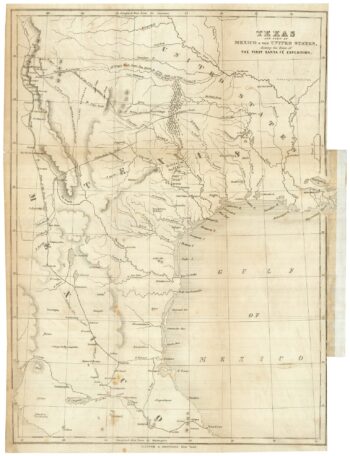
A sought after map of the Republic of Texas
£1,200RADEFELD, Carl Christian Franz.
Published In 1846
Stock No. 23839 -

Map of Sumatra and the Malay Peninsula
£425AA, Pieter van der.
Published In 1714
Stock No. 23647 -

The Strait of Malacca & Singapore
£475AA, Pieter van der.
Published In 1714
Stock No. 23646 -

18th century view of the Dutch city of Batavia
£160SALMON, Thomas.
Published In 1753
Stock No. 23642 -
A decorative 17th century map of Corsica
£1,100JANSSON, Jan.
Published In 1650
Stock No. 23619 -

One of the few maps showing the Republic of Texas
£750KENDALL, George Wilkins.
Published In 1844
Stock No. 23325 -

James Boswell’s 18th century tour of Corsica
£680PHINN, Thomas.
Published In 1768
Stock No. 23174 -

A rare Italian map of Corsica
£1,800SOCIETA CALCOGRAFICA.
Published In 1805
Stock No. 23173 -

A 16th century map of Corsica
£260PORCACCHI, Tomaso.
Published In 1590
Stock No. 23212 -

A scarce 17th century map of Corsica
£1,100BLAEU, Johannes.
Published In 1663
Stock No. 22580