Showing 1–12 of 22 results
-

An extremely rare example of the first printed plan of Exeter
£4,500HOOKER, John.
Published In 1587
Stock No. 24437 -

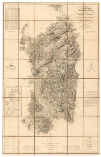
An important 19th century map of Sardinia
£1,100Alberto., Alberto., FERRERO DELLA MARMORA
Published In 1845
Stock No. 24225 -

Miniature map of Donegal
£85PERROT, Aristide Michel.
Published In 1828
Stock No. 23300 -

Miniature map of Devon
£80PERROT, Aristide Michel.
Published In 1828
Stock No. 23303 -

A scarce issue of John Speed’s map of Devon
£1,100SPEED, John.
Published In 1611
Stock No. 24038 -

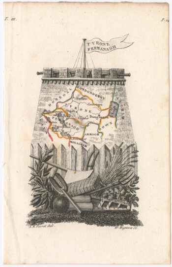
Miniature map of Tyrone and Fermanagh
£100PERROT, Aristide Michel.
Published In 1828
Stock No. 23123 -

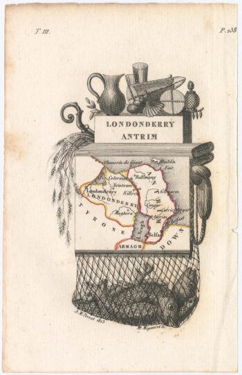
Miniature map of Londonderry
£100PERROT, Aristide Michel.
Published In 1828
Stock No. 23122 -

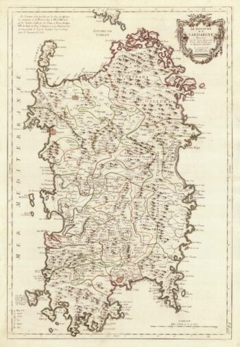
A large format 18th century map of Sardinia
£600SANTINI, Francesco & SANTINI, Paolo.
Published In 1784
Stock No. 21917 -

An 18th century chart of Sant’Antioco, Sardinia
£120ROUX, Joseph.
Published In 1764
Stock No. 21744 -
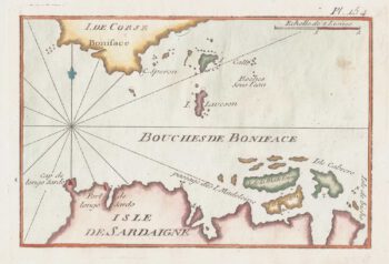
An 18th century chart of the Strait of Bonifacio
£80ROUX, Joseph.
Published In 1764
Stock No. 21738 -

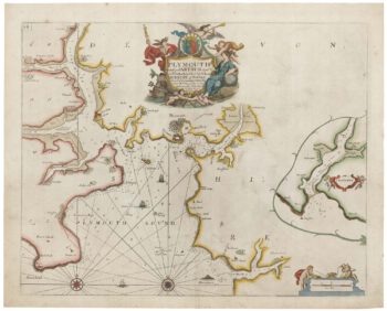
Sea chart of Plymouth from the first English sea-atlas
£450COLLINS, Greenvile.
Published In 1693
Stock No. 21702 -

16th century woodcut map of Sardinia
£550ALBERTI, Leandro.
Published In 1588
Stock No. 21494