Showing 181–192 of 203 results
-

Balloon view of Epsom Races
£400ARNOUT, Jules.
Published In 1846
Stock No. 16209 -

Urban planning in Erith during the Age of the Railway
£600Anonymous.
Published In 1873
Stock No. 16089 -

A wall map of Europe illustrated with military uniforms
£1,400MENETRIER, F.
Published In 1900
Stock No. 16006 -

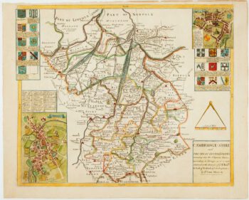
Uncommon map of Cambridgeshire from a Saxton county atlas
£1,250WILLDEY, George.
Published In 1749
Stock No. 15847 -

A map of Cheshire from the Duke of York’s Library
£450JANSSON, Jan.
Published In 1700
Stock No. 15537 -
16th century map of Cheshire from the Duke of York’s Library
£460BLAEU, Johannes.
Published In 1648
Stock No. 15535 -

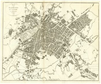
Plan of Manchester & Salford
£160Anonymous.
Published In 1810
Stock No. 15436 -

First folio altas map of Europe to be engraved & published in England
£850BLOME, Richard.
Published In 1669
Stock No. 15151 -

17th century map of Middlesex & Hertfordshire
£850JANSSON, Jan.
Published In 1710
Stock No. 14617 -

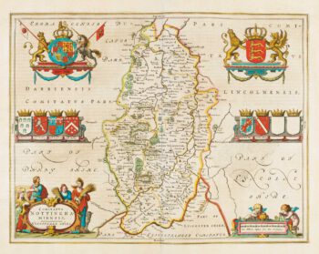
Map of Nottinghamshire published during the English Civil War
£500BLAEU, Johannes.
Published In 1648
Stock No. 14532 -

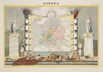
A decorative map of the continent of Europe
£200LEVASSEUR, Victor.
Published In 1850
Stock No. 14176 -

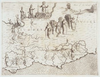
Map of Surrey and Sussex from Drayton’s fantastical ‘Poly-Olbion’
£450DRAYTON, Michael.
Published In 1612
Stock No. 14044