Showing 1–12 of 54 results
-

The First Edition of Ortelius’s map of the Spice Islands
£4,000ORTELIUS, Abraham.
Published In 1570
Stock No. 24431 -

A magnificent map of Liguria in superb original colour
£6,000VRIENTS, Jan Baptist.
Published In 1608
Stock No. 24382 -

18th century English map of the East Indies
£440BOWEN, Emanuel.
Published In 1752
Stock No. 21763 -

Early 18th century map of the East Indies
£980DELISLE, Guillaume.
Published In 1705
Stock No. 23907 -

Rare map of the interests of the V.O.C. in the East Indies
£1,650RENNEVILLE, Ren? Auguste Constantin.
Published In 1725
Stock No. 22933 -

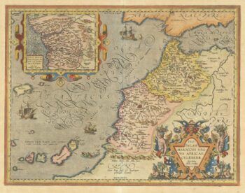
A 16th century map of Morocco
£700ORTELIUS, Abraham.
Published In 1601
Stock No. 23718 -

17th century English map of the East Indies
£2,200SPEED, John.
Published In 1676
Stock No. 23799 -
One of the earliest sea charts to show any part of Australia
£1,600HONDIUS, Henricus.
Published In 1650
Stock No. 23620 -

A 17th century old map of Liguria
£700BLAEU, Willem Janszoon.
Published In 1640
Stock No. 23612 -

A striking four-sheet wall map of the Far East
£4,500OTTENS, Joachim.
Published In 1792
Stock No. 23571 -

A 17th century map of Liguria in original colour
£650JANSSON, Jan.
Published In 1638
Stock No. 23246 -

The scarce second Galle plate for the Far East used in the ‘Epitome’
£450ORTELIUS, Abraham.
Published In 1598
Stock No. 23197