Showing 13–24 of 41 results
-

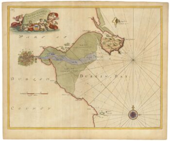
Sea chart of Dublin Bay from the first English sea-atlas
£550COLLINS, Greenvile.
Published In 1693
Stock No. 23156 -

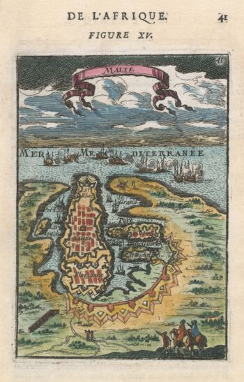
A 17th century miniature plan of Valletta
£220MALLET, Alain Manesson.
Published In 1683
Stock No. 22329 -

Miniature map of Longford and West Meath
£100PERROT, Aristide Michel.
Published In 1828
Stock No. 23127 -

Miniature map of East Meath
£110PERROT, Aristide Michel.
Published In 1828
Stock No. 23126 -

Miniature map of Dublin
£110PERROT, Aristide Michel.
Published In 1828
Stock No. 23125 -
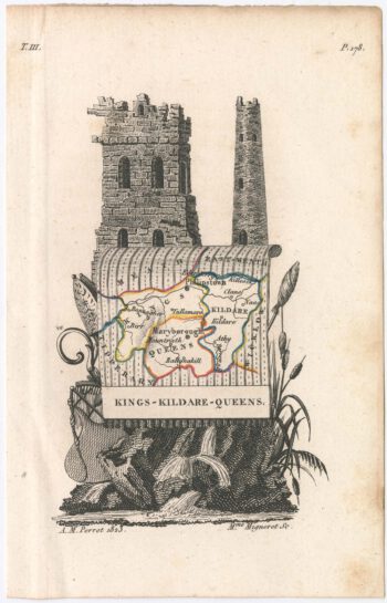
Miniature map of Kildare
£75PERROT, Aristide Michel.
Published In 1828
Stock No. 23120 -
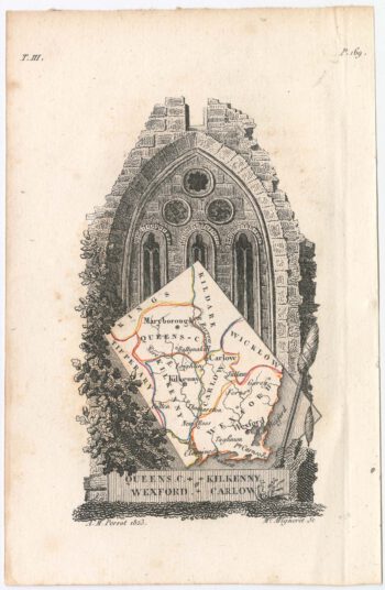
Miniature map of Kilkenny
£95PERROT, Aristide Michel.
Published In 1828
Stock No. 23119 -

A late-18th century plan of Valletta
£280ANDREWS, John.
Published In 1800
Stock No. 22602 -

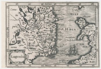
A scarce miniature map of Leinster
£140HONDIUS, Jodocus II.
Published In 1639
Stock No. 22143 -

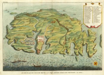
A bird’s-eye view-map of Malta
£480CALMET, Augustin Antoine.
Published In 1722
Stock No. 21804 -

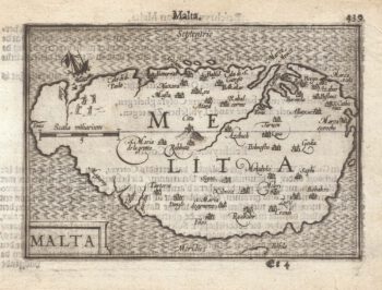
A 16th century miniature map of Malta
£400LANGENES, Barent.
Published In 1599
Stock No. 21326 -

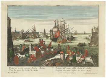
An 18th century vue d’optique of Valletta Harbour
£850PROBST, Georg Balthasar.
Published In 1760
Stock No. 21231