

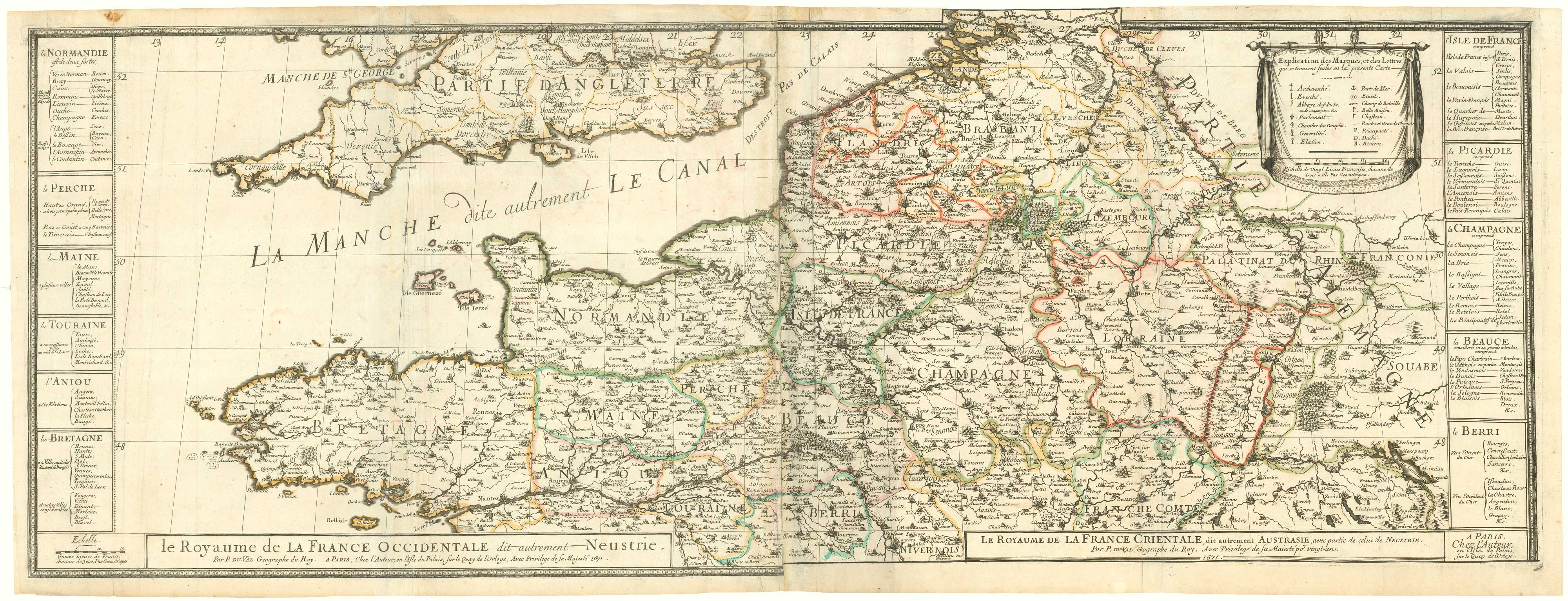
A wall map of Louis XIV's France
DU VAL, Pierre.
La France avec ses anciennes, et ses nouvelles Bornes.
Paris, 1671. Original outline colour. Four sheets joined in pairs, each pair 425 x 1110mm.
Minor repairs.
A scarce four-sheet map of France, each with an extra title relating to Carolingian France: 'Neustrie' (north west), 'Austrasie' (north east), 'Aquitaine' (south west), and 'Bourgogne' & 'Arles' (south east). Although the map was probably issued as a broadsheet, this example has been re-engraved to form atlas maps.
Stock ID : 19793
SOLD
To see similar items click here
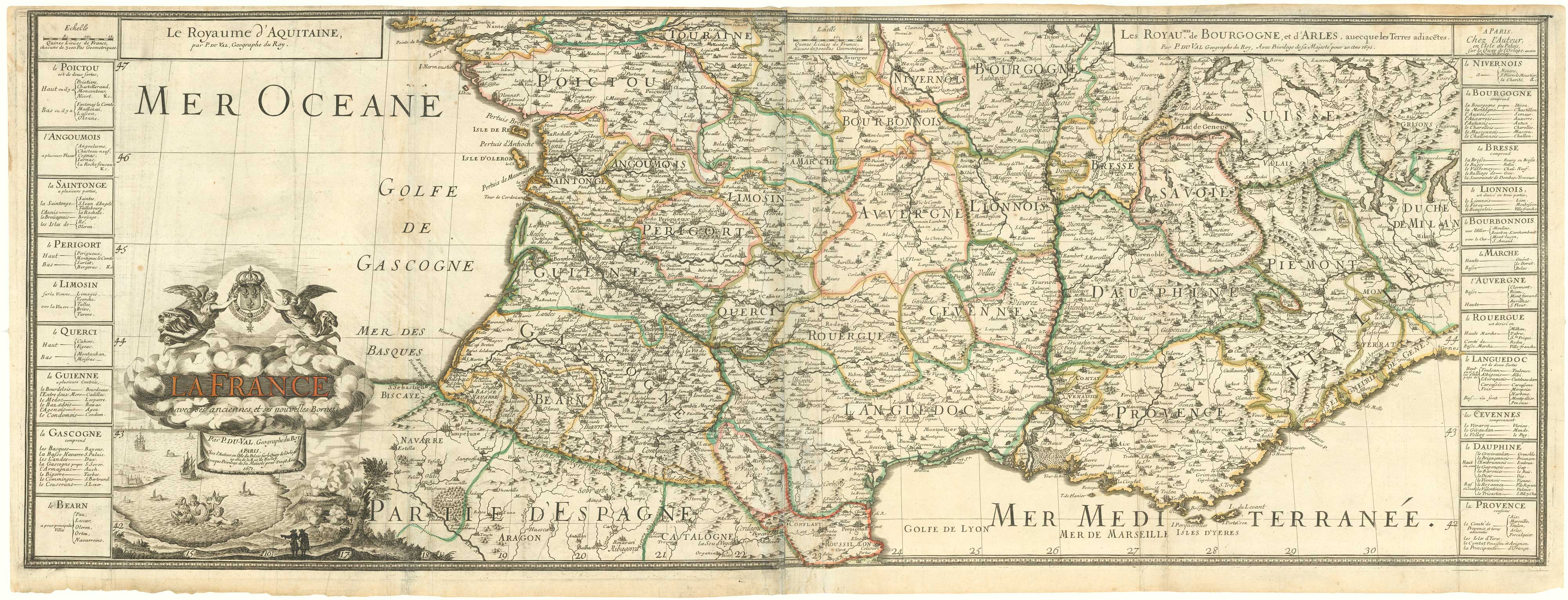


Altea Antique Maps & Charts
Altea Gallery Ltd, 35 St George Street
London
W1S 2FN
United Kingdom
Tel: +44 20 7491 0010
info@alteagallery.com
Sitemap :

