
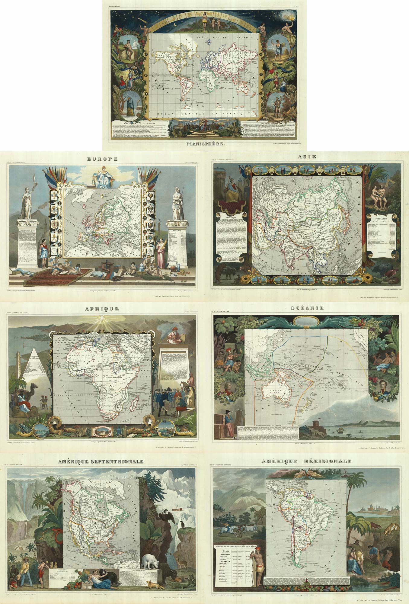
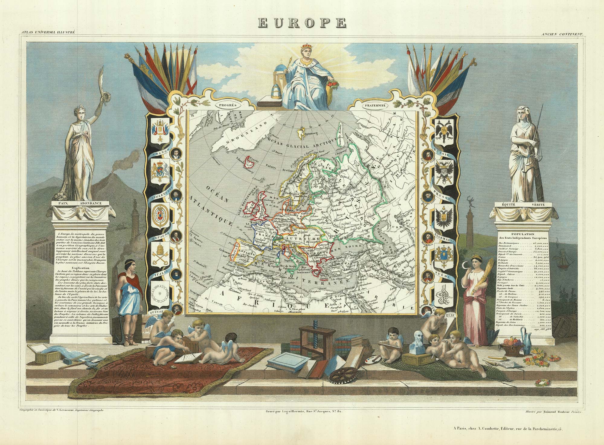
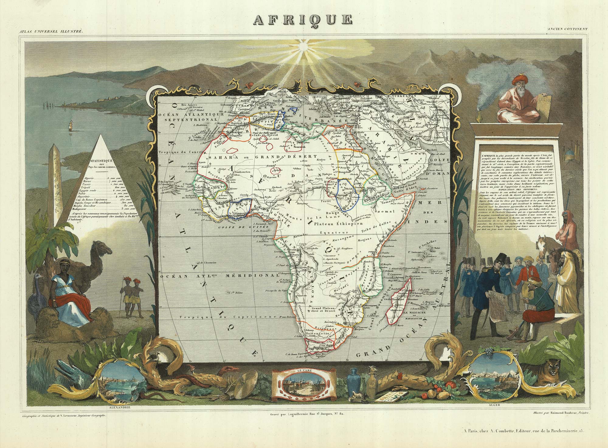
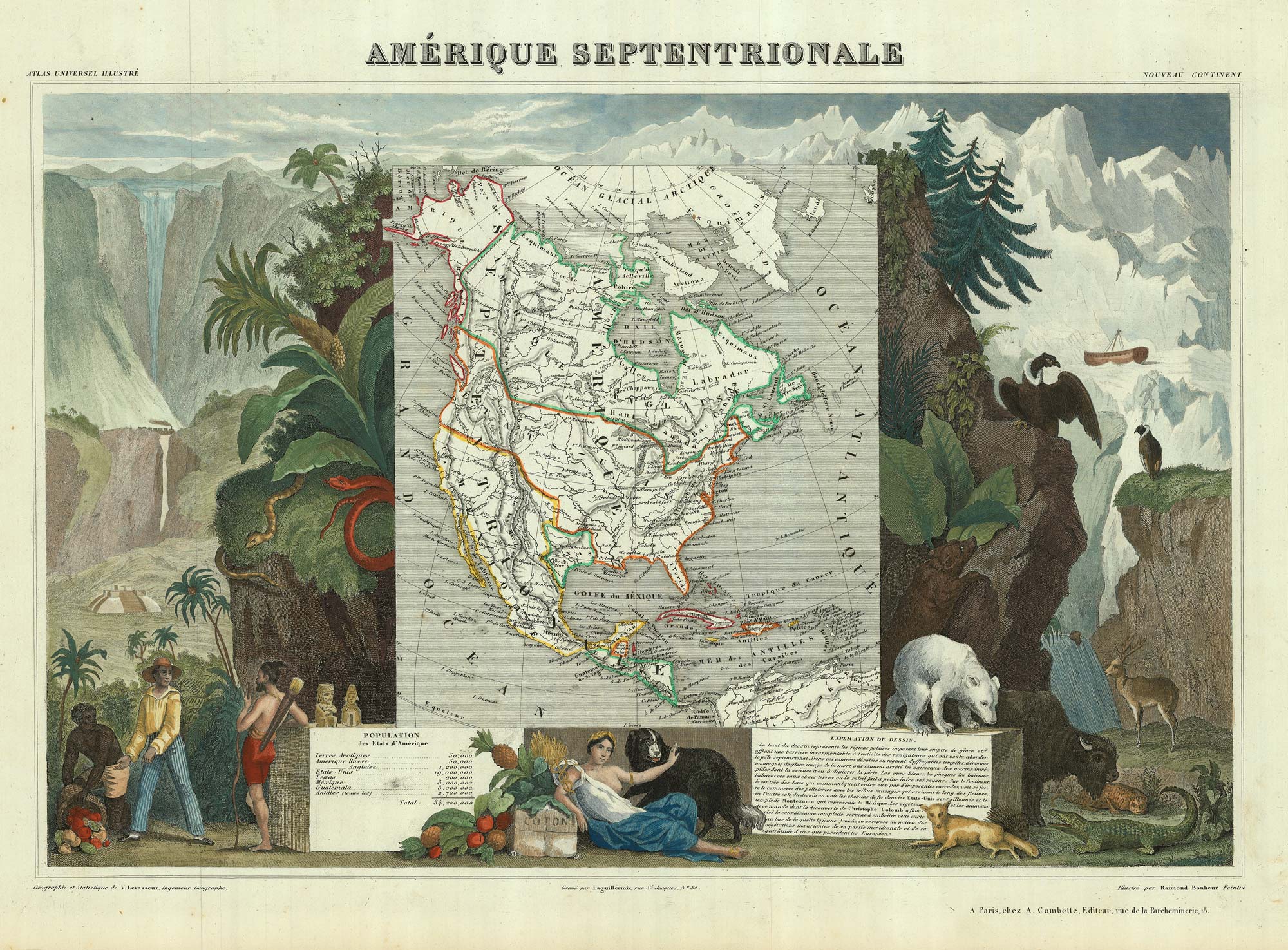
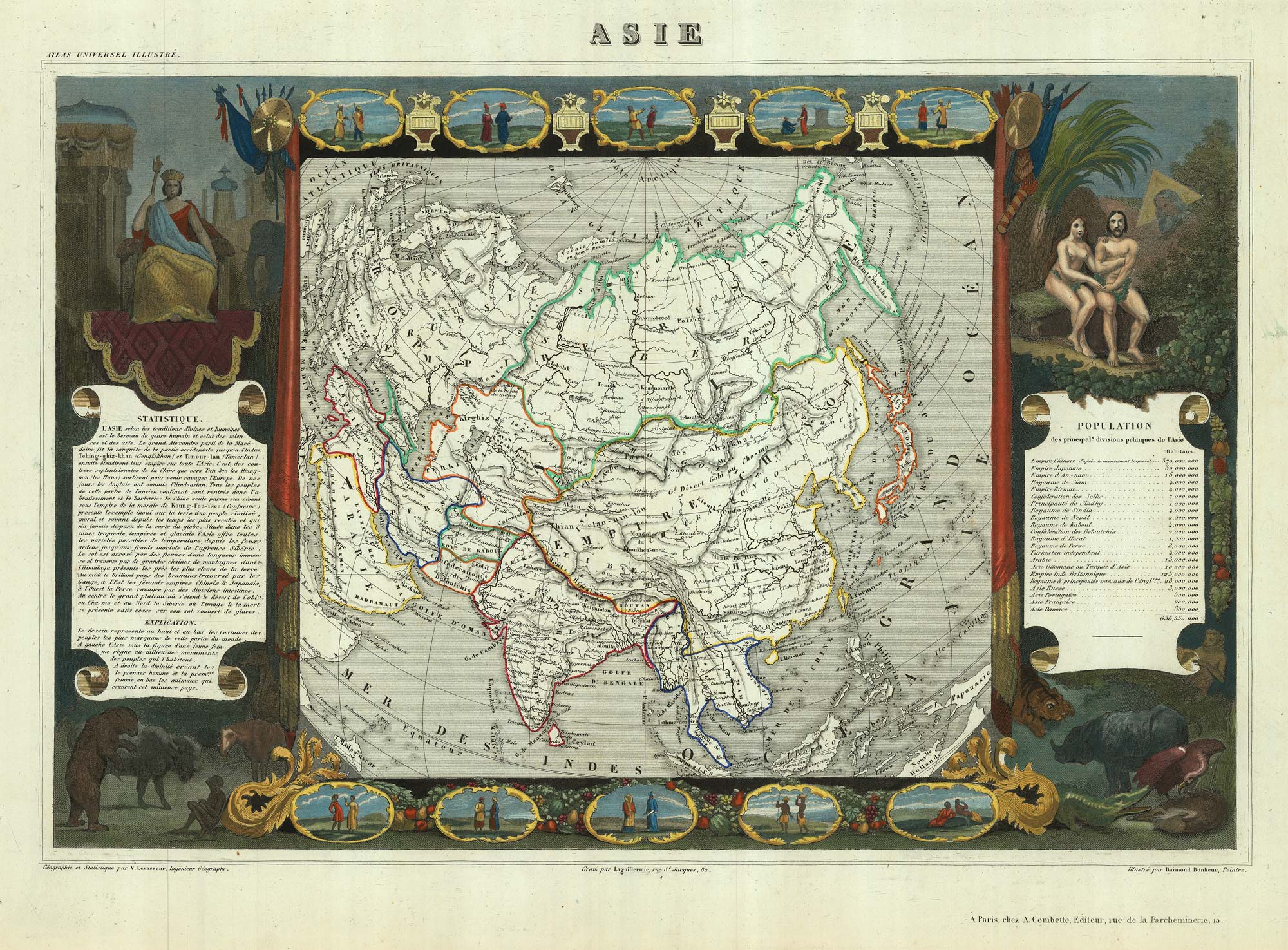
Very decorative set of 7 maps of the World & Continents
LEVASSEUR, Victor.
[Set of World & 6 Continents.]
Paris, A. Combette, c.1840. Original outline colour on the maps, the borders with additional colour. Seven steel-engravings, ea. c.310 x 410mm.
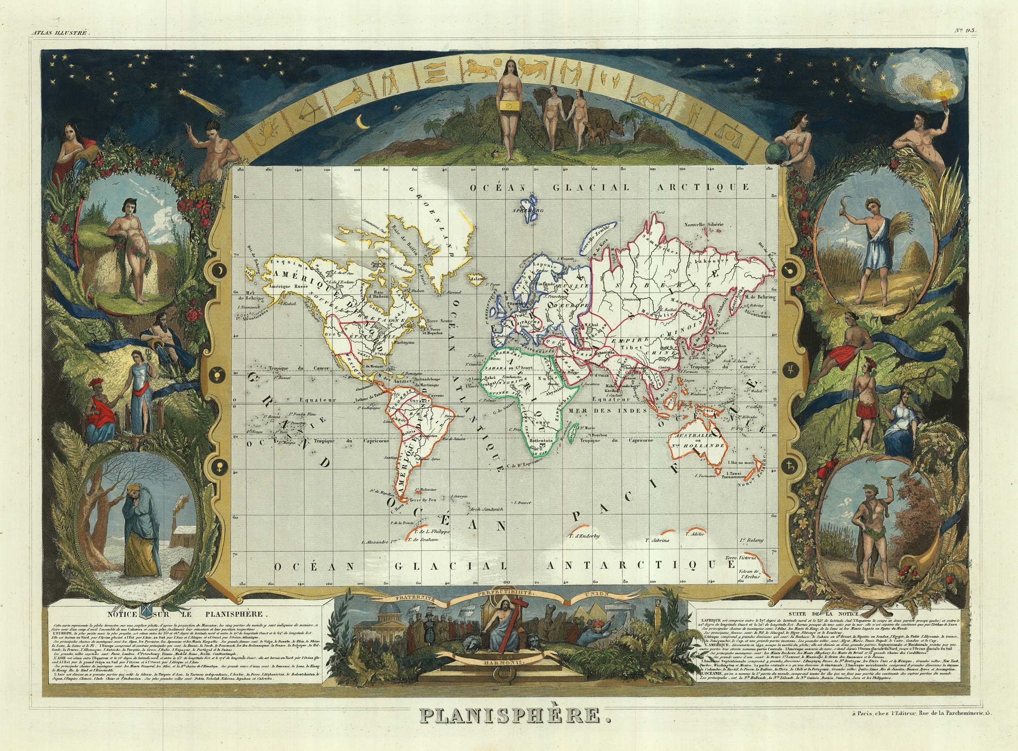
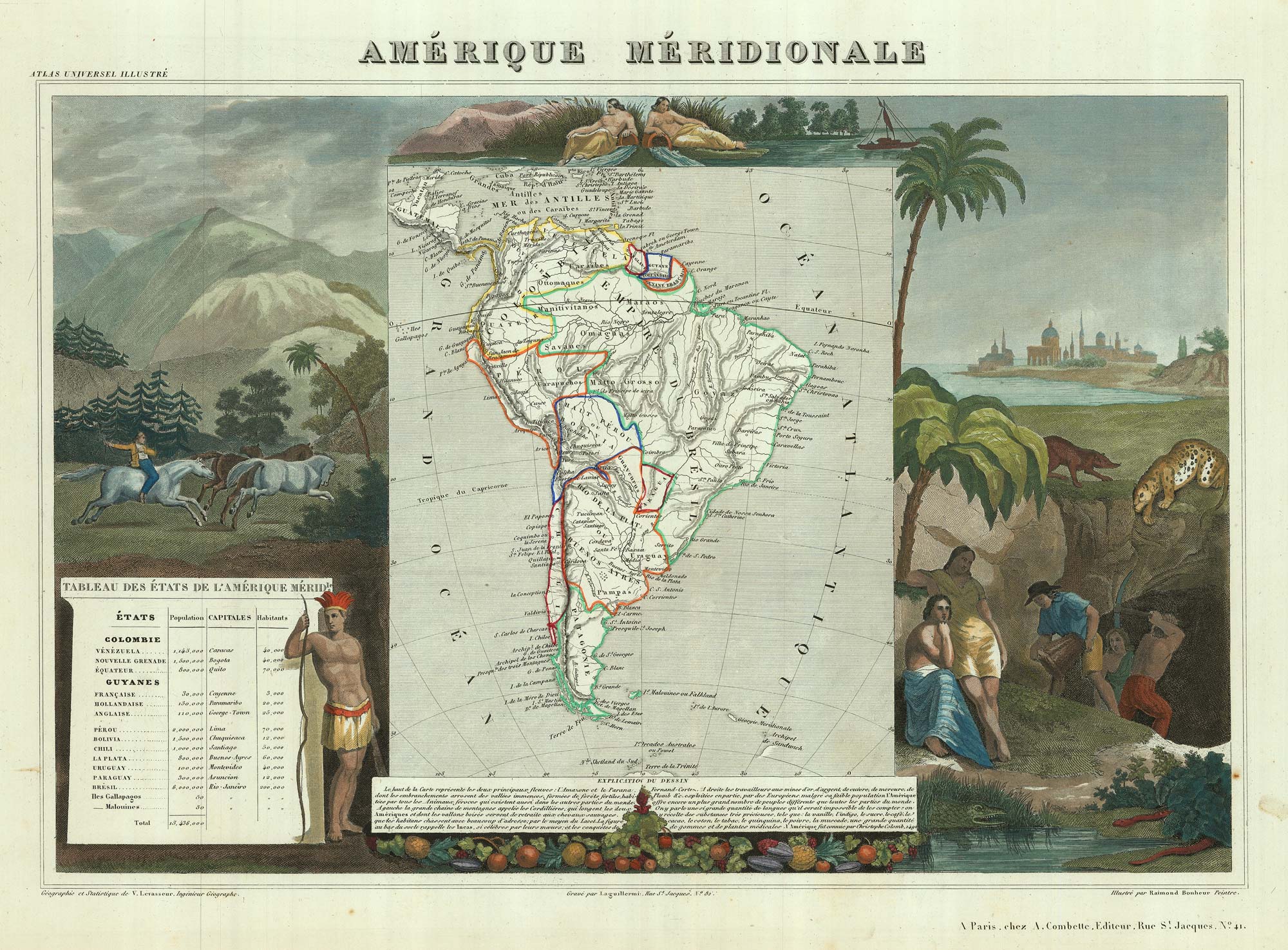
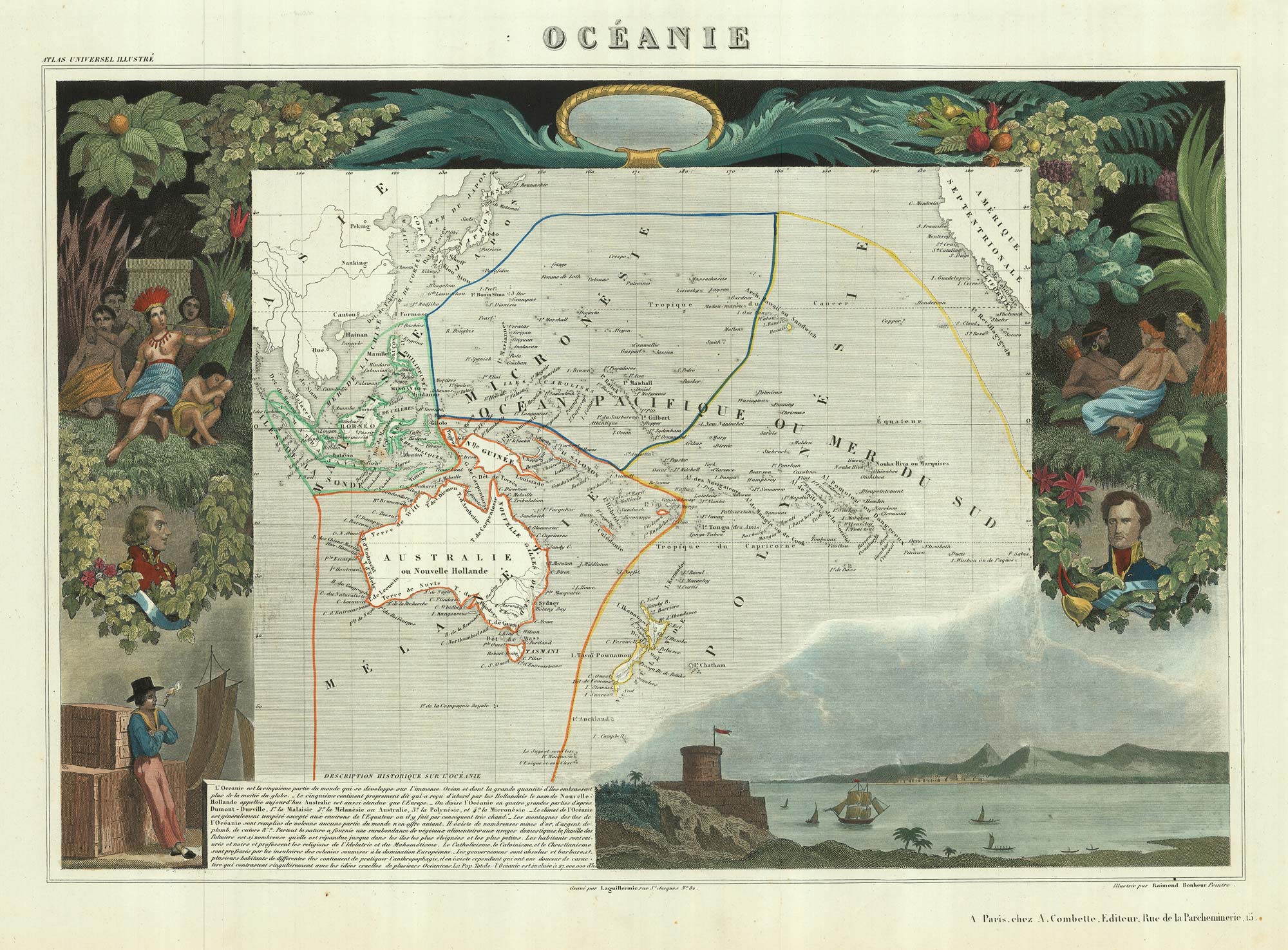
A fine set, in full colour. Each map with a highly decorative engraved border, with vignettes of costumes and animals, published in one of the last decorative atlases, the 'Atlas Universel Illustré'.
Rather than the usual World and Four Continents, in this set Australasia has a map to itself and North and South America are shown separately. On the map of North America Texas is a republic; the population table gives it a population of only 200,000.
Stock ID : 20439
£1,400
£1,400

Very decorative set of 7 maps of the World & Continents
LEVASSEUR, Victor.
[Set of World & 6 Continents.]
Paris, A. Combette, c.1840. Original outline colour on the maps, the borders with additional colour. Seven steel-engravings, ea. c.310 x 410mm.
A fine set, in full colour. Each map with a highly decorative engraved border, with vignettes of costumes and animals, published in one of the last decorative atlases, the 'Atlas Universel Illustré'.
Rather than the usual World and Four Continents, in this set Australasia has a map to itself and North and South America are shown separately. On the map of North America Texas is a republic; the population table gives it a population of only 200,000.
Stock ID : 20439
£1,400
£1,400


Altea Antique Maps & Charts
Altea Gallery Ltd, 35 St George Street
London
W1S 2FN
United Kingdom
Tel: +44 20 7491 0010
info@alteagallery.com
Sitemap :

