
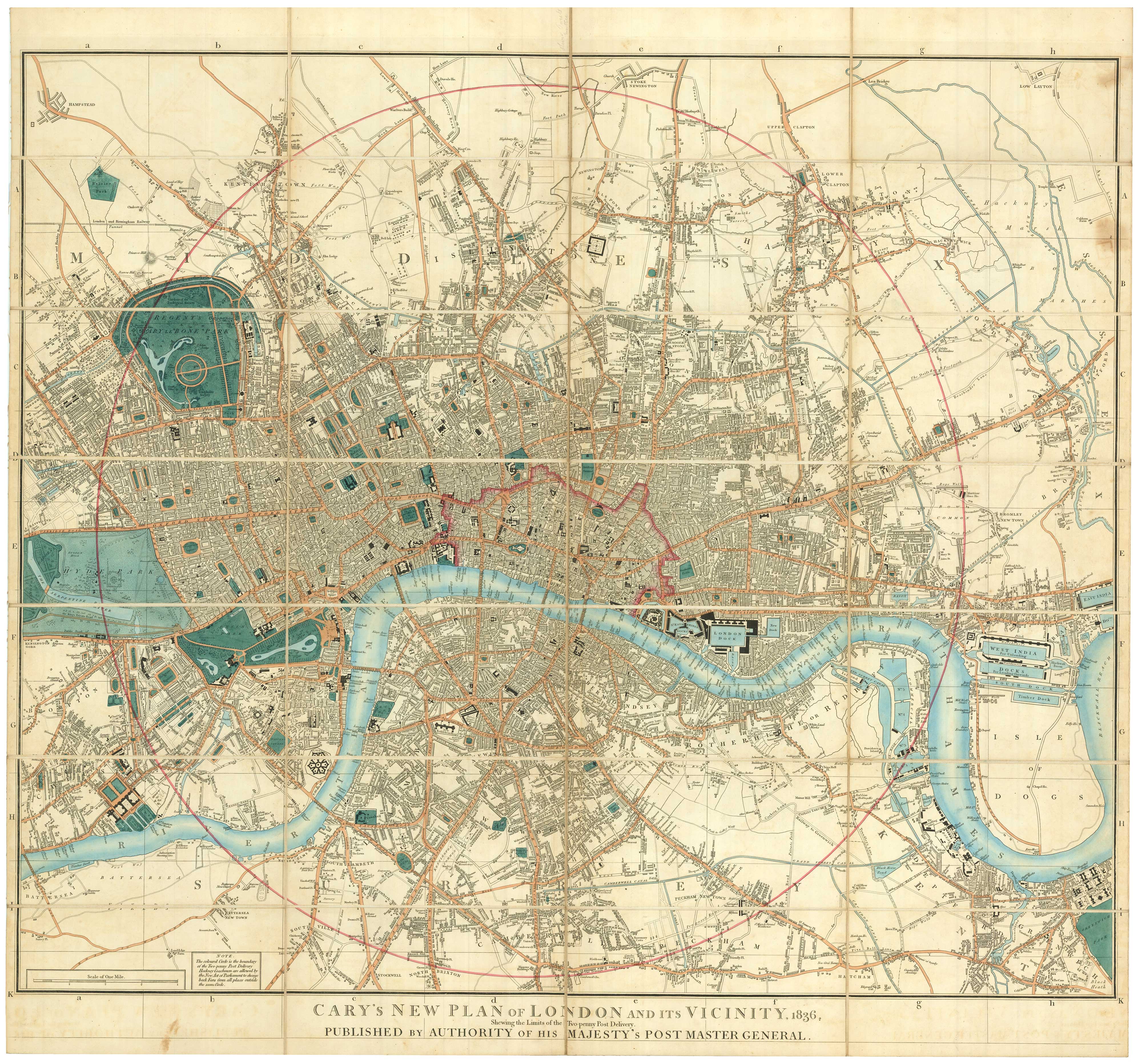
Detailed map of London in the reign of William IV
CARY, John.
Cary's New Plan of London and its Vicinity, 1836, Shewing the Limits of the Two-Penny Post Delivery. Published by Authority of his Majesty's Post Master General.
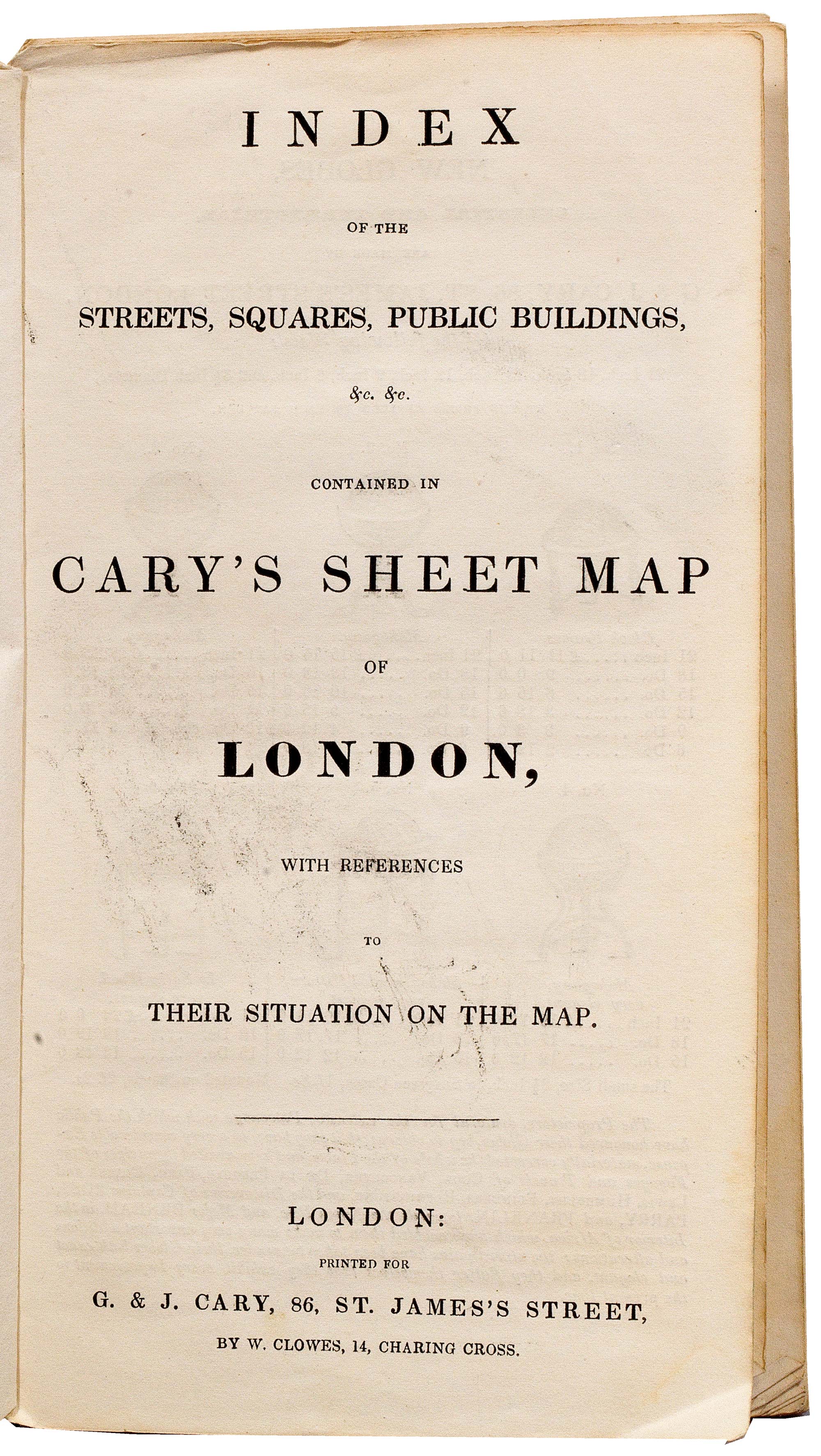
London, 1836. Original body colour. Dissected and laid on linen as issued, total 740 x 830mm, folded into original slipcase with Cary's index pamphlet.
A large folding map of London, extending to (clockwise from the west): the Serpentine in Hyde Park, Stoke Newington, Blackwall & Camberwell. The red circle marks the extent of the Two-Penney Post deliveries.
This edition marks: the London & Greenwich Railway, whose terminus at London Bridge was the first in London, opened that year; the London & Southampton Railway ending at Nine Elms, opened 1838; and the London & Birmingham Railway to Euston, engineered by Robert Stephenson, also 1838.
HOWGEGO: 279, state 10 of at least nineteen.
Stock ID : 23294
£1,500
£1,500

Detailed map of London in the reign of William IV
CARY, John.
Cary's New Plan of London and its Vicinity, 1836, Shewing the Limits of the Two-Penny Post Delivery. Published by Authority of his Majesty's Post Master General.
London, 1836. Original body colour. Dissected and laid on linen as issued, total 740 x 830mm, folded into original slipcase with Cary's index pamphlet.
A large folding map of London, extending to (clockwise from the west): the Serpentine in Hyde Park, Stoke Newington, Blackwall & Camberwell. The red circle marks the extent of the Two-Penney Post deliveries.
This edition marks: the London & Greenwich Railway, whose terminus at London Bridge was the first in London, opened that year; the London & Southampton Railway ending at Nine Elms, opened 1838; and the London & Birmingham Railway to Euston, engineered by Robert Stephenson, also 1838.
HOWGEGO: 279, state 10 of at least nineteen.
Stock ID : 23294
£1,500
£1,500


Altea Antique Maps & Charts
Altea Gallery Ltd, 35 St George Street
London
W1S 2FN
United Kingdom
Tel: +44 20 7491 0010
info@alteagallery.com
Sitemap :

