The first printed map of the Pacific in mint condition
£5,500
Out of stock
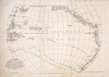
An early example of the most sought-after of Ortelius's atlas maps, first published only two years earlier. Engraved in 1589, it pre-dates the concept of California as an island, has a huge island of New Guinea and an unrecognisable Japan. The south Pacific is filled with a vignette of the 'Victoria', Magellan's ship: his route through the Magellan Straits is shown, with Terra del Fuego depicted as part of the huge 'Terra Australis'.
Additional information
| Cartographer | |
|---|---|
| Date | 1592 |
| Extra Info | Maris Pacifici, (quod vulgo Mar del Zur) cum regionibus circumiacentibus, insulusque in eodem passim sparsis, novissima descriptio. |
| Publication | Antwerp, 1592, Latin text edition. 345 x 495mm, with wide margins. |
| Condition | A good example. |
| References | VAN DEN BROECKE: 12. |
Related Items
Related products
-

A scarce map of the Pacific
£650BURNEY, James.
Published In 1803
Stock No. 20985 -

Showing Captain Cook’s travel in the Pacific
£475LA HARPE, Jean François de.
Published In 1785
Stock No. 20796 -

An French sea chart of the Pacific after Dumont D’Urville
£450Dépôt des Cartes et Plans de la Marine.
Published In 1834
Stock No. 18866 -

Australia & East India Islands
£160WYLD, James.
Published In 1819
Stock No. 22020