- Reset all
- Abruzzo
- Abyssinia
- Africa Continent
- Arctic
- Bering Strait
- Black Sea
- Bolivia
- Books about Maps
- Bristol
- Calabria
- Campania
- Central Asia Maps
- China
- Emilia Romagna
- Europe
- Grenada
- Hispaniola
- Hungary
- Huntingdonshire
- Italy
- Italy Maps
- Kent
- Lincolnshire
- London Environs
- Maritime
- Martinique
- Monaco
- North America
- Oxfordshire
- Pacific and Australasia
- Pennsylvania
- Pictorial Maps
- Poland
- Scientific Instruments
- Scotland Maps
- Scottish Counties
- Somerset
- South America
- Southern Italy
- Syria
- Texas
- Trinidad
- United States Maps
- Worcestershire
- Zodiac
Showing 1285–1296 of 1369 results
-

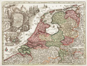
Holland with an Inset of its colonies in the East Indies
£280SEUTTER, Matthaus.
Published In 1744
Stock No. 11407 -

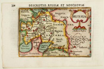
An early 17th century miniature map of Russia
£200BERTIUS, Petrus.
Published In 1603
Stock No. 11401 -

Luxembourg
£150SEUTTER, Matthaus.
Published In 1744
Stock No. 11397 -

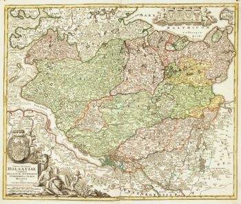
18th century map of Holstein
£200HOMANN, Johann Baptist.
Published In 1720
Stock No. 11370 -

Early 18th century map of Iberia
£160BION, Nicolas.
Published In 1710
Stock No. 11338 -

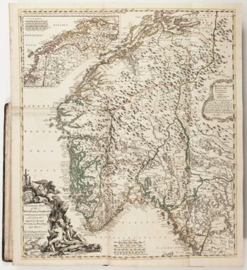
The Natural History of Norway, including sea-monsters!
£1,950PONTOPPIDAN, Erich.
Published In 1755
Stock No. 11264 -

A circular plan of London and Environs
£1,000PIGOT, James.
Published In 1832
Stock No. 11253 -

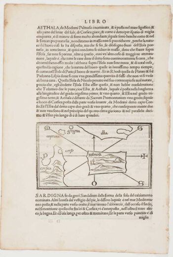
The first printed map of Corsica
£800BORDONE, Benedetto.
Published In 1534
Stock No. 11217 -

Cambrai in the C16th
£420BRAUN, Georg & HOGENBERG, Frans.
Published In 1596
Stock No. 11183 -

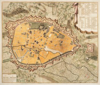
Town plan of Brussels in the 18th century
£500HUCHTENBURG, J. van.
Published In 1729
Stock No. 11162 -

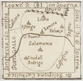
An extremely rare miniature map of Leon
£350FRESCHOT, Casimir Don.
Published In 1680
Stock No. 11161 -

18th century map of Finland
£400SEUTTER, Matthaus.
Published In 1730
Stock No. 11101