Showing 37–48 of 393 results
-

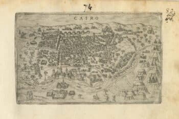
A 16th century Italian plan of Cairo
£250VALEGIO, Francesco.
Published In 1598
Stock No. 24146 -

A ‘bird’s-eye’ map of the Gordon Relief Mission, 1884
£1,750BACON, George Washington.
Published In 1885
Stock No. 24107 -

A caricature of Churchill as an octopus, produced for occupied France
£1,000S.P.K.
Published In 1942
Stock No. 24106 -

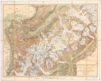
A detailed plan of the Mont-Blanc massif
£1,600BARBEY, Albert.
Published In 1924
Stock No. 22980 -

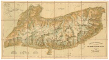
An important map of the Mont Blanc Massif
£950MIEULET, Jean-Joseph.
Published In 1865
Stock No. 24076 -

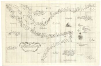
A 17th century sea chart of the Gulf of Aden in Dudley’s unique style
£3,250DUDLEY, Robert.
Published In 1646
Stock No. 23592 -

An impressive 16th century two-sheet plan of Antwerp
£1,500HOEFNAGEL, Joris.
Published In 1596
Stock No. 23372 -

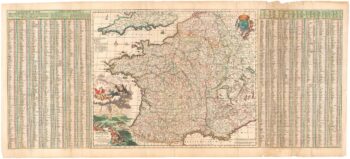
A 17th century map of France with rare gazzetteer side-panels
£750VISSCHER, Nicolas.
Published In 1690
Stock No. 23744 -

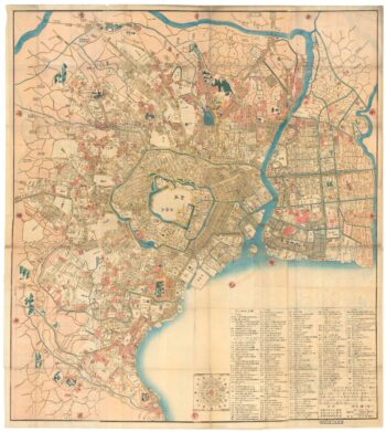
A Japanese woodblock wall map of Edo
£4,500TAKAI RANZAN.
Published In 1859
Stock No. 23071 -

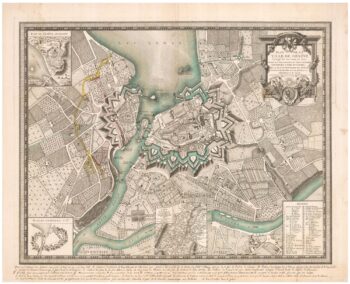
A plan of Geneva with contemporary manuscript for the Revolution of 1782
£2,500GLOT, C.B.
Published In 1777
Stock No. 24391 -

The iconic depiction of the Copernican solar system
£5,000CELLARIUS, Andreas.
Published In 1708
Stock No. 24383 -

A scarce issue of John Speed’s map of Rutland
£600SPEED, John.
Published In 1665
Stock No. 24025