Showing 325–336 of 372 results
-

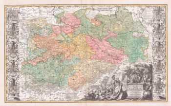
A scarce large-format map of Saxony in the 18th century
£1,800ZOLLMAN, Friedrich.
Published In 1731
Stock No. 17714 -

Detailed map of Oman, with Muscat marked
£750VANDERMAELEN, Philippe.
Published In 1827
Stock No. 14074 -

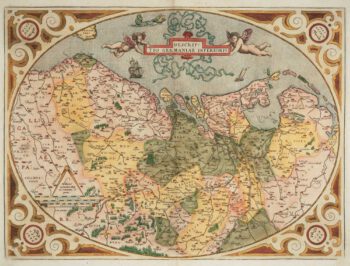
The Netherlands ‘Egg’ Map by Ortelius
£850ORTELIUS, Abraham.
Published In 1574
Stock No. 12887 -

A decorative four-sheet map of France in fine colour
£2,000INSELIN, Charles.
Published In 1713
Stock No. 11666 -

A scarce bird’s-eye view of Paris
£1,200Anonymous.
Published In 1680
Stock No. 11573 -

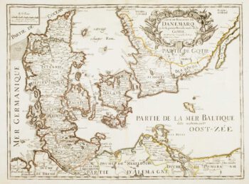
17th century French map of Denmark
£200DU VAL, Pierre.
Published In 1686
Stock No. 11443 -

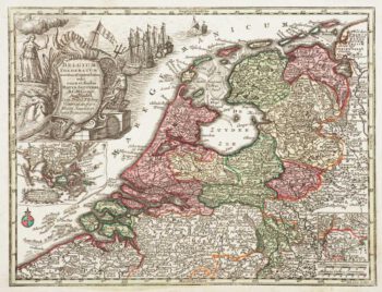
Holland with an Inset of its colonies in the East Indies
£280SEUTTER, Matthaus.
Published In 1744
Stock No. 11407 -

Luxembourg
£150SEUTTER, Matthaus.
Published In 1744
Stock No. 11397 -
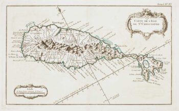
18th century French chart of St Kitts
£300BELLIN, Jacques-Nicolas.
Published In 1764
Stock No. 11377 -

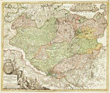
18th century map of Holstein
£200HOMANN, Johann Baptist.
Published In 1720
Stock No. 11370 -

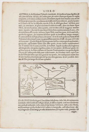
The first printed map of Corsica
£800BORDONE, Benedetto.
Published In 1534
Stock No. 11217 -

Cambrai in the C16th
£420BRAUN, Georg & HOGENBERG, Frans.
Published In 1596
Stock No. 11183