Showing 1–12 of 199 results
-

An early woodcut map of England
£1,000MUNSTER, Sebastian.
Published In 1572
Stock No. 24564 -

A scarce 17th century prospect of Villefranche-sur-Mer
£1,500BLAEU, Johannes.
Published In 1682
Stock No. 24159 -

A 16th century woodcut map of Greece
£380MUNSTER, Sebastian.
Published In 1572
Stock No. 24576 -
A 16th century town plan of Rhodes
£250ROTA, Martin.
Published In 1598
Stock No. 24199 -

A 16th century town plan of Corfu City
£250VALEGIO, Francesco.
Published In 1598
Stock No. 24181 -

A 16th century town plan of Heraklion
£150VALEGIO, Francesco.
Published In 1598
Stock No. 24180 -

A 16th century Italian plan of Aden
£240VALEGIO, Francesco.
Published In 1598
Stock No. 24139 -

Vrients’s scarce map of England, Wales & Ireland
£4,250VRIENTS, Jan Baptist.
Published In 1612
Stock No. 20271 -

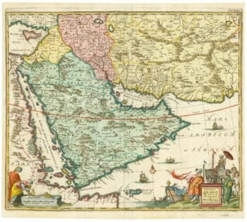
17th century map of Arabia
£1,000MEURS, Jacob van.
Published In 1680
Stock No. 20175 -

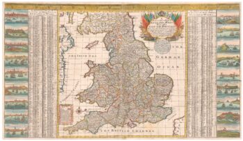
A scarce two-sheet map of England and Wales with side panels
£3,000WILLDEY, George.
Published In 1715
Stock No. 24165 -

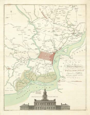
A map of Philadelphia as the capital of the Revolution
£3,400LOTTER, Matthaus Albrecht.
Published In 1777
Stock No. 24398 -

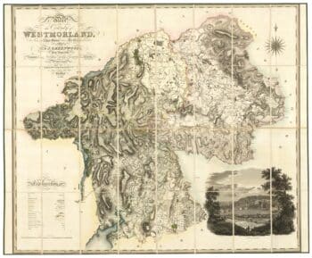
A large scale map of Westmorland in fine colour
£1,500GREENWOOD, C. & J.
Published In 1824
Stock No. 24069