Showing 1–12 of 26 results
-

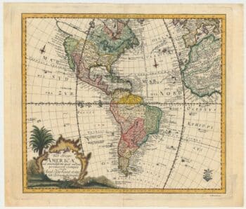
An 18th century map of the Americas
£550EULER, Leonhard.
Published In 1753
Stock No. 24536 -

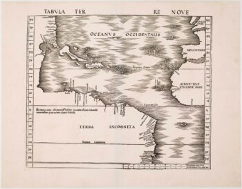
One of the earliest maps to depict America
£42,500WALDSEEMULLER, Martin.
Published In 1513
Stock No. 24130 -

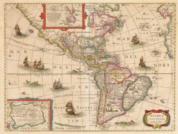
The first atlas issue of this 17th century map of America
£2,200HONDIUS, Jodocus II.
Published In 1636
Stock No. 19628 -

Speed’s landmark map of America
£3,950SPEED, John.
Published In 1665
Stock No. 23980 -

Miniature map of Middlesex
£45PERROT, Aristide Michel.
Published In 1828
Stock No. 23302 -

17th century map of Middlesex & Hertfordshire
£750JANSSON, Jan.
Published In 1646
Stock No. 23925 -

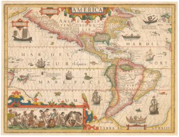
A superbly decorated map of the Americas
£6,500HONDIUS, Jodocus.
Published In 1628
Stock No. 23601 -

18th century plan of Paris in the decade before the French Revolution
£850ALIBERT, Jean.
Published In 1780
Stock No. 23420 -

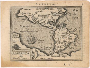
The scarce second Galle plate for America used in the ‘Epitome’
£470ORTELIUS, Abraham.
Published In 1598
Stock No. 23190 -

A mid-19th century tourist’s map of Paris
£400Anonymous.
Published In 1842
Stock No. 22987 -
The Fries edition of Wäldseemüller’s map of the Americas
£8,500WALDSEEMULLER, Martin.
Published In 1541
Stock No. 23045 -

A classic 17th century Dutch map of Middlesex
£550BLAEU, Johannes.
Published In 1658
Stock No. 22701