- Reset all
- Andalusia
- Antarctic
- Antigua
- Benelux
- Bohemia
- Caspian Sea
- Central America
- China
- Constellations
- Falklands
- Hertfordshire
- Holy Land
- Indian Ocean
- Latvia and Estonia
- Liguria
- Luxembourg
- Monaco
- New York
- North Africa
- Northern Italy
- Patagonia
- Sardinia
- Scientific Instruments
- Scottish Islands
- Singapore
- Syria
- Texas
- Trentino
- West Indies
- Western Europe
Showing 625–636 of 677 results
-

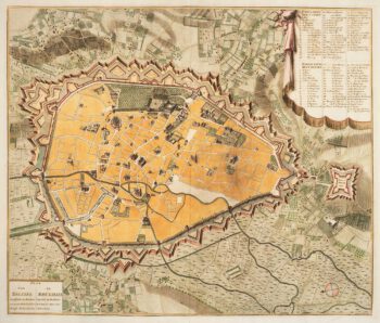
Cambrai in the C16th
£420BRAUN, Georg & HOGENBERG, Frans.
Published In 1596
Stock No. 11183 -

Town plan of Brussels in the 18th century
£500HUCHTENBURG, J. van.
Published In 1729
Stock No. 11162 -

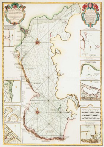
The first accurate map of the Caspian Sea
£800DELISLE, Guillaume.
Published In 1721
Stock No. 10995 -

A manuscript design for the new pier at Genoa
£500Anonymous.
Published In 1715
Stock No. 10882 -

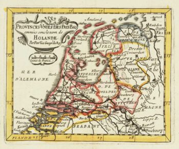
Miniature map of Holland
£140DU VAL, Pierre.
Published In 1682
Stock No. 10859 -

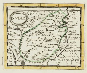
Miniature map of Nubia
£80DU VAL, Pierre.
Published In 1682
Stock No. 10830 -

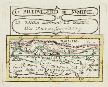
Miniature map of Mauretania & the Sahara
£80DU VAL, Pierre.
Published In 1682
Stock No. 10828 -

Abyssinia, with the mythical kingdom of Prester John
£280MONTANUS, Arnoldus.
Published In 1670
Stock No. 10724 -

A large and detailed chart of the Bahamas
£650BELLIN, Jacques-Nicolas.
Published In 1768
Stock No. 10641 -

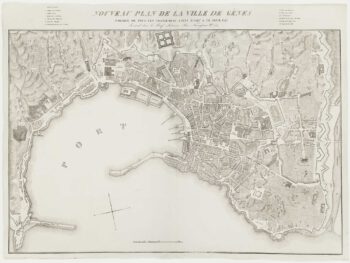
A fine town-plan of Genoa
£450ZUCOLI, Léon.
Published In 1849
Stock No. 10532 -

The Maritime Alps
£450CORONELLI, Vincenzo Maria.
Published In 1690
Stock No. 10278 -

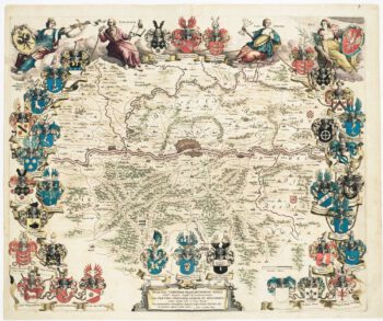
Blaeu’s famous plan of Frankfurt in original colours
£950BLAEU, Johannes.
Published In 1640
Stock No. 10159