Showing 1–12 of 172 results
-

A political map of the Partition of British India
£1,800BUREAU OF CURRENT AFFAIRS.
Published In 1949
Stock No. 24485 -

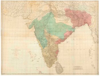
A late 18th century map of India.
£700MANNERT, Konrad.
Published In 1797
Stock No. 24481 -

A late-18th century plan of Vienna
£230ANDREWS, John.
Published In 1800
Stock No. 24512 -

A plan of Puducherry at the beginning of the 18th century
£250FER, Nicolas de.
Published In 1705
Stock No. 24511 -

One of the first maps to show Pakistan as an independent state
£2,500SURVEY OF PAKISTAN.
Published In 1950
Stock No. 24297 -

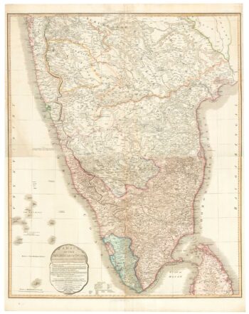
A large and detailed map of India
£1,500WALKER, J. & C.
Published In 1844
Stock No. 24341 -

A four-sheet map of India in the 18th century
£2,800JEFFERYS, Thomas.
Published In 1768
Stock No. 23966 -

A two-sheet map of India
£620FADEN, William.
Published In 1824
Stock No. 23848 -

The most important prospect of Brescia
£18,000CARBONI, Domenico.
Published In 1764
Stock No. 23648 -

A two-sheet sea chart of the coast between Mumbai and Karachi
£1,800IMRAY, James & Son.
Published In 1867
Stock No. 23377 -

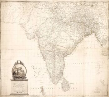
An Austrian edition of Rennell’s wall map of India
£1,850RENNELL, James.
Published In 1788
Stock No. 23140 -

17th century map of India after Cantelli da Vignola
£1,100CANTELLI DA VIGNOLA, Giacomo.
Published In 1683
Stock No. 24409