Showing 421–432 of 478 results
-

An 18th century playing-card map of India
£400RABATTA, Augusto & BAILOU, Jean Baptist de.
Published In 1779
Stock No. 12984 -

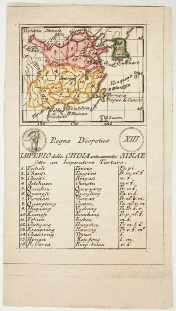
An 18th century playing-card map of China
£450RABATTA, Augusto & BAILOU, Jean Baptist de.
Published In 1779
Stock No. 12974 -

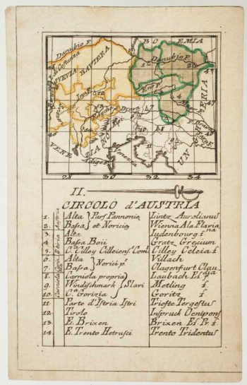
An 18th century playing-card map of Austria
£150RABATTA, Augusto & BAILOU, Jean Baptist de.
Published In 1779
Stock No. 12961 -

Sea chart of the Firth of Forth from the first English sea-atlas
£480COLLINS, Greenvile.
Published In 1750
Stock No. 14900 -

Detailed map of Oman, with Muscat marked
£750VANDERMAELEN, Philippe.
Published In 1827
Stock No. 14074 -

Rare map of Middlesex, Essex and Herts
£1,100WARBURTON, John.
Published In 1726
Stock No. 12907 -

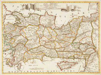
Map of Turkey and Cyprus
£680CANTELLI DA VIGNOLA, Giacomo.
Published In 1686
Stock No. 12796 -

Map of Turkey and Cyprus
£350CANTELLI DA VIGNOLA, Giacomo.
Published In 1686
Stock No. 12795 -

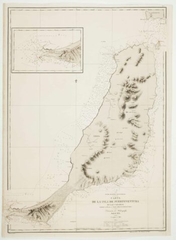
An uncommon 19th century Spanish sea chart of Fuerteventura
£1,500ARLETT, William.
Published In 1868
Stock No. 12576 -

An uncommon 19th century Spanish sea chart of three of the Canary Islands
£800VIDAL, Alexander.
Published In 1868
Stock No. 12573 -

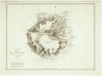
An uncommon Spanish sea chart of Gran Canaria
£1,400ARLETT, William.
Published In 1868
Stock No. 12572 -

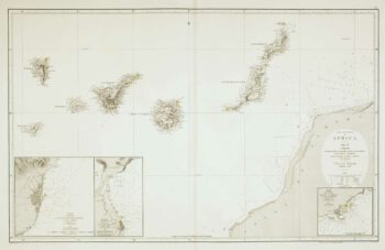
An uncommon 19th century Spanish sea chart of the Canary Islands
£1,450VIDAL, Alexander & ARLETT, William.
Published In 1855
Stock No. 12566