Showing 1–12 of 46 results
-

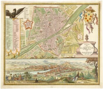
An 18th century city map and prospect of Florence
£1,350HOMANN HEIRS.
Published In 1731
Stock No. 24446 -

An 18th century ‘vue d’optique’ of Quebec
£750LEIZELT, Balthasar Frederick.
Published In 1775
Stock No. 24523 -

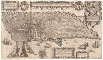
An important 16th century plan of Angra
£2,800LINSCHOTEN, Jan Huygen van.
Published In 1595
Stock No. 23737 -

A 16th century town plan of Florence
£300VALEGIO, Francesco.
Published In 1598
Stock No. 24193 -

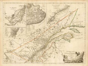
A French edition of an important map of the St Lawrence valley
£1,600CARVER, Jonathan.
Published In 1777
Stock No. 23477 -

A 16th century town plan of Siena
£400VALEGIO, Francesco.
Published In 1598
Stock No. 24194 -

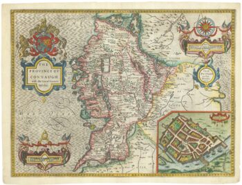
A 17th century map of Connaught
£800SPEED, John.
Published In 1665
Stock No. 23784 -

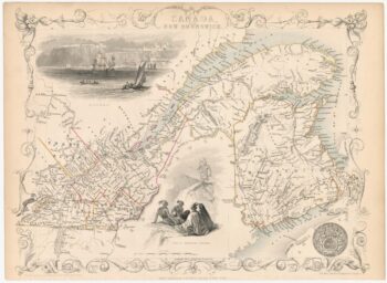
A mid 19th century map of West Canada with vignettes
£160TALLIS, John.
Published In 1851
Stock No. 23498 -

Map of Eastern Canada with vignettes
£150TALLIS, John.
Published In 1851
Stock No. 23482 -

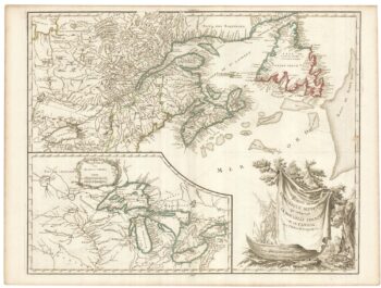
A late 18th century map of Canada and the Great Lakes
£550ROBERT DE VAUGONDY, Didier.
Published In 1793
Stock No. 23279 -

Mid 19th century map of Tibet, Mongolia and Manchuria
£160TALLIS, John.
Published In 1851
Stock No. 21614 -

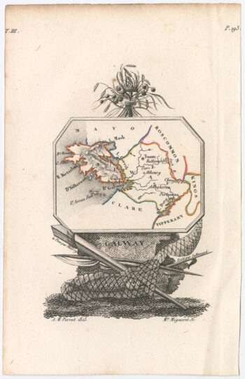
Miniature map of Galway
£110PERROT, Aristide Michel.
Published In 1828
Stock No. 23128