Showing 229–240 of 267 results
-

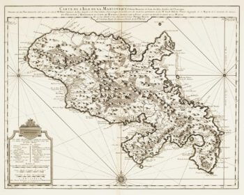
Map of 18th-century Martinique
£550JEFFERYS, Thomas.
Published In 1779
Stock No. 12317 -

18th century map of Martinique
£650COVENS & MORTIER.
Published In 1740
Stock No. 12311 -

17th century sea-chart of the West Indies
£2,500GOOS, Pieter.
Published In 1666
Stock No. 11906 -

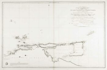
An uncommon 19th century Spanish sea chart of Trinidad and Venezuela
£1,500DIRECCION HIDROGRAFICA DE MADRID.
Published In 1865
Stock No. 11887 -

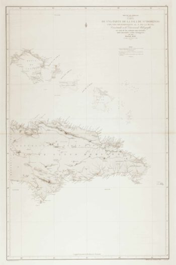
An uncommon 19th century Spanish sea chart of the Dominican Republic
£100MOUCHEZ, Amédée Ernest Barthémy.
Published In 1865
Stock No. 11846 -

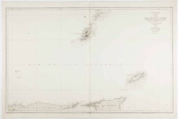
An uncommon 19th century Spanish sea chart of the Dominican Republic & the Turks and Caicos Islands
£550BREGANTE, F.
Published In 1867
Stock No. 11838 -

An uncommon 19th century Spanish sea chart of Grenada and Tobago
£800BREGANTE, S.
Published In 1868
Stock No. 11824 -

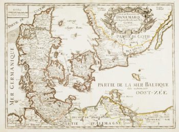
17th century French map of Denmark
£200DU VAL, Pierre.
Published In 1686
Stock No. 11443 -

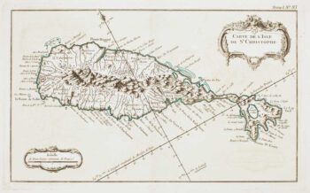
18th century French chart of St Kitts
£300BELLIN, Jacques-Nicolas.
Published In 1764
Stock No. 11377 -

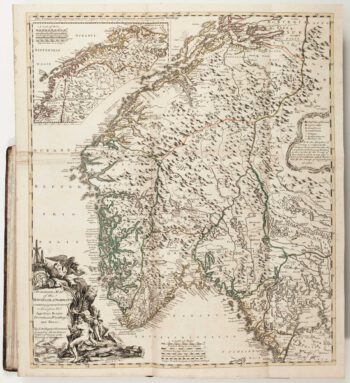
The Natural History of Norway, including sea-monsters!
£1,950PONTOPPIDAN, Erich.
Published In 1755
Stock No. 11264 -

Cambrai in the C16th
£420BRAUN, Georg & HOGENBERG, Frans.
Published In 1596
Stock No. 11183 -

18th century map of Finland
£400SEUTTER, Matthaus.
Published In 1730
Stock No. 11101