Showing 37–48 of 1194 results
-

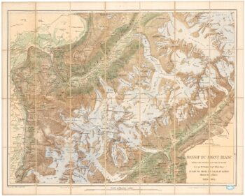
An important map of the Mont Blanc Massif
£950MIEULET, Jean-Joseph.
Published In 1865
Stock No. 24076 -

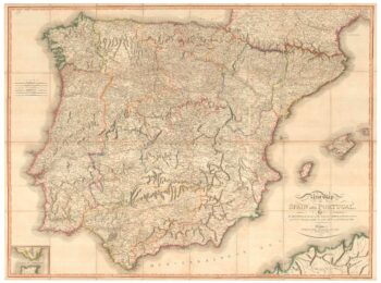
A large map of Iberia published during the Peninsular War
£750CHANLAIRE, Pierre Gregoire & MENTELLE, Edme.
Published In 1808
Stock No. 24072 -

Folding map of Australia with fine colour
£980WYLD, James.
Published In 1833
Stock No. 24071 -

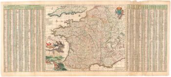
A two-sheet map of Europe
£1,000JAILLOT, Alexis-Hubert.
Published In 1705
Stock No. 24059 -

The most important prospect of Brescia
£18,000CARBONI, Domenico.
Published In 1764
Stock No. 23648 -

A detailed map of Victoria in the 1930s
£4,500WAR OFFICE.
Published In 1930
Stock No. 23458 -

An impressive 16th century two-sheet plan of Antwerp
£1,500HOEFNAGEL, Joris.
Published In 1596
Stock No. 23372 -

A large French edition of Lopez’s map of Iberia
£850LOPEZ, Thomas.
Published In 1820
Stock No. 23293 -

A 17th century map of France with rare gazzetteer side-panels
£750VISSCHER, Nicolas.
Published In 1690
Stock No. 23744 -

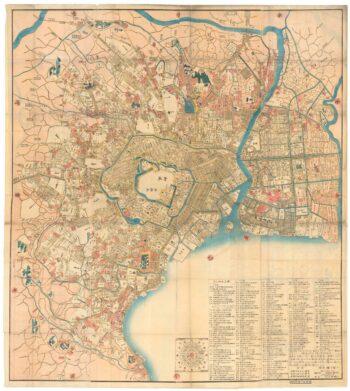
A Japanese woodblock wall map of Edo
£4,500TAKAI RANZAN.
Published In 1859
Stock No. 23071 -

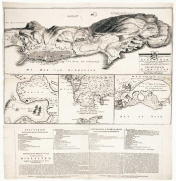
Dutch broadsheet of the Anglo-Spanish War, 1727-9
£900LETH, Andries de.
Published In 1727
Stock No. 22698 -

Detailed folding map of the ‘Patriotic War of 1812’
£550VALLARDI, Guiseppe and Pietro.
Published In 1808
Stock No. 22675