Showing 1–12 of 36 results
-

An 18th century ‘vue d’optique’ of Quebec
£750LEIZELT, Balthasar Frederick.
Published In 1775
Stock No. 24523 -

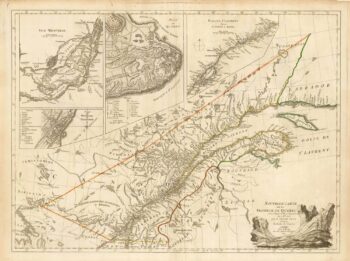
A French edition of an important map of the St Lawrence valley
£1,600CARVER, Jonathan.
Published In 1777
Stock No. 23477 -

A mid 19th century map of West Canada with vignettes
£160TALLIS, John.
Published In 1851
Stock No. 23498 -

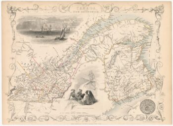
Map of Eastern Canada with vignettes
£150TALLIS, John.
Published In 1851
Stock No. 23482 -

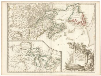
A late 18th century map of Canada and the Great Lakes
£550ROBERT DE VAUGONDY, Didier.
Published In 1793
Stock No. 23279 -
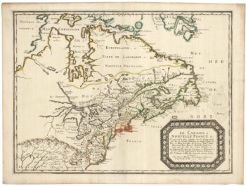
Sanson’s map of Canada with an early depiction of the Great Lakes
£4,750SANSON, Nicolas.
Published In 1662
Stock No. 23067 -

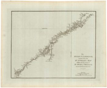
A detailed 18th century plan of the St Lawrence River
£420HARRISON, John.
Published In 1784
Stock No. 22812 -

A plan of the British attack on Quebec in October 1690 by a defender
£550LAHONTAN, Louis-Armande de.
Published In 1741
Stock No. 22562 -

A detailed map of Dominica during the American War of Independence
£850BUACHE, Philippe.
Published In 1778
Stock No. 22487 -

An 18th century Italian plan of Quebec
£250GAZZETTIERE AMERICANO.
Published In 1763
Stock No. 22467 -

A detailed plan of Quebec
£160ANDREWS, John.
Published In 1798
Stock No. 22463 -
A contemporary plan of the Siege of Quebec of 1759
£450ROYAL MAGAZINE.
Published In 1759
Stock No. 22336