Showing 1–12 of 117 results
-
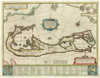
Richard Norwood’s map of Bermuda
£1,000HONDIUS, Henricus.
Published In 1633
Stock No. 24607 -

18th century Italian map of the West Indies
£550CASSINI, Giovanni Maria.
Published In 1798
Stock No. 24532 -

A 17th century Dutch map of the West Indies
£1,250VISSCHER, Nicolas.
Published In 1710
Stock No. 24608 -

A 16th century woodcut prospect of Rome
£400MUNSTER, Sebastian.
Published In 1572
Stock No. 24577 -

A 16th century woodcut map of Classical Rome
£220MUNSTER, Sebastian.
Published In 1572
Stock No. 24572 -

A 16th century town plan of classical Rome
£140VALEGIO, Francesco.
Published In 1598
Stock No. 24195 -

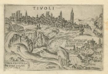
A 16th century town plan of Tivoli
£140VALEGIO, Francesco.
Published In 1598
Stock No. 24192 -

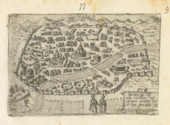
A 16th century Italian plan of Damascus
£300VALEGIO, Francesco.
Published In 1598
Stock No. 24152 -

An 18th century ‘vue d’optique’ of Quebec
£750LEIZELT, Balthasar Frederick.
Published In 1775
Stock No. 24523 -

One of the largest printed prospects of Rome
£15,000VASI, Giuseppe.
Published In 1765
Stock No. 24364 -

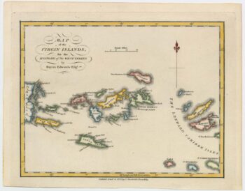
An 18th century map of the Virgin Islands
£700EDWARDS, Bryan.
Published In 1794
Stock No. 24169 -

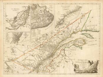
A French edition of an important map of the St Lawrence valley
£1,600CARVER, Jonathan.
Published In 1777
Stock No. 23477