Showing 1–12 of 185 results
-

16th century map of the Eastern Mediterranean in rare early colour
£880MUNSTER, Sebastian.
Published In 1550
Stock No. 24441 -

A political map of the Partition of British India
£1,800BUREAU OF CURRENT AFFAIRS.
Published In 1949
Stock No. 24485 -

A rare wall map of the Holy Land
£9,000NOLIN, Jean Baptiste.
Published In 1785
Stock No. 24500 -

An incunable prospect of Jerusalem
£1,600SCHEDEL, D. Hartmann.
Published In 1493
Stock No. 24425 -

Early view of the Great Mosque in Mecca, with the Kaaba
£700CHATELAIN, Henri Abraham.
Published In 1720
Stock No. 23550 -

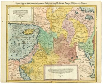
17th century map of Arabia
£1,000MEURS, Jacob van.
Published In 1680
Stock No. 20175 -

A late 18th century map of India.
£700MANNERT, Konrad.
Published In 1797
Stock No. 24481 -

A plan of Puducherry at the beginning of the 18th century
£250FER, Nicolas de.
Published In 1705
Stock No. 24511 -

An early 20th century plaster relief map of Jerusalem in a box
£1,200VESTER, Frederick.
Published In 1910
Stock No. 24365 -

One of the first maps to show Pakistan as an independent state
£2,500SURVEY OF PAKISTAN.
Published In 1950
Stock No. 24297 -

The first English atlas map of the Turkish Empire
£2,500SPEED, John.
Published In 1665
Stock No. 23981 -

A large and detailed map of India
£1,500WALKER, J. & C.
Published In 1844
Stock No. 24341