
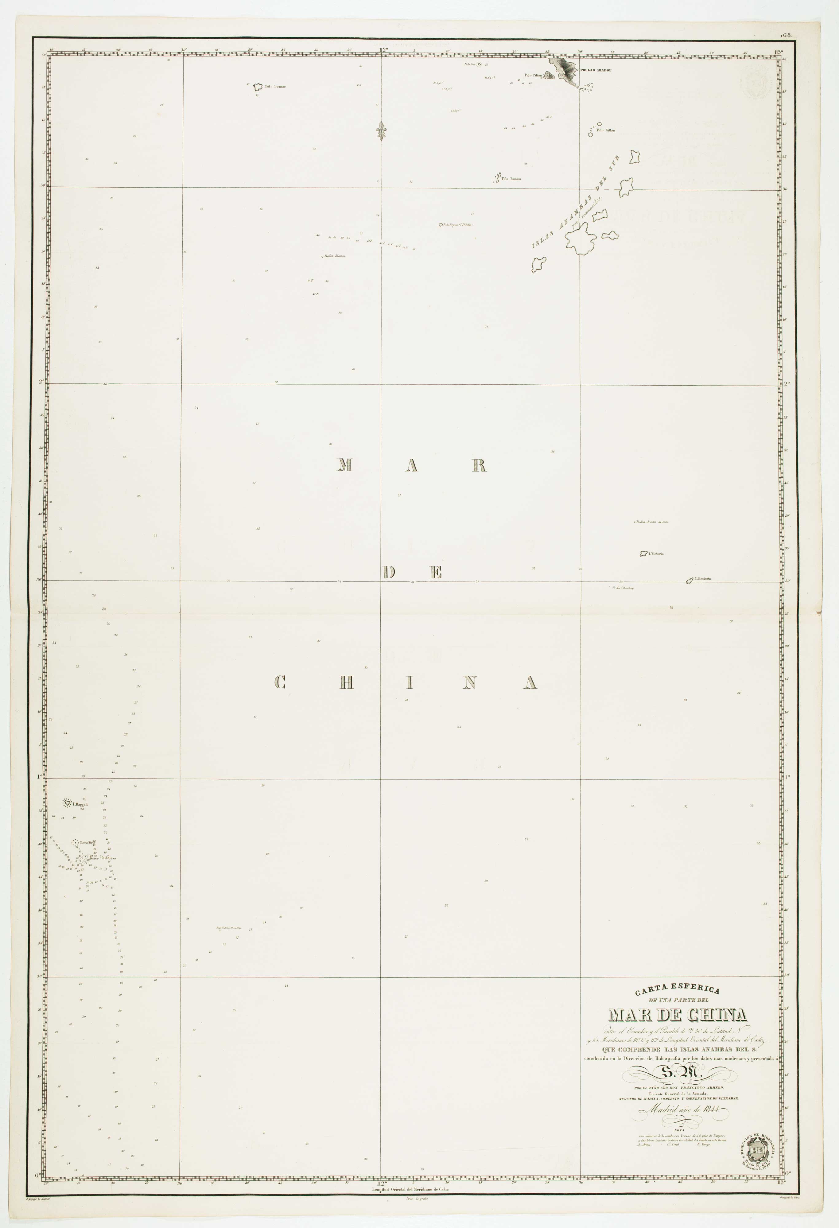
Pair of sea charts of the Anambas Islands
HORTIGOSA, P.
Carta Esferica de una parte del Mar de China... que comprende las Islas Anambas de Enmedio y del N. [&] Carta Esferica de una parte del Mar de China ... que comprende las Islas Anambas del S.
Madrid: Direccion de Hidrografia, 1844. Two sheets, each c. 980 x 640mm.
North sheet with some offset.
Pair of sea charts of the Anambas Islands, now an important area of gas and oil production. Even at this late date there is a chain on non-existant islands, although the cartographer has marked them 'poco reconocidas' (little known).
Stock ID : 12472
£600
£600
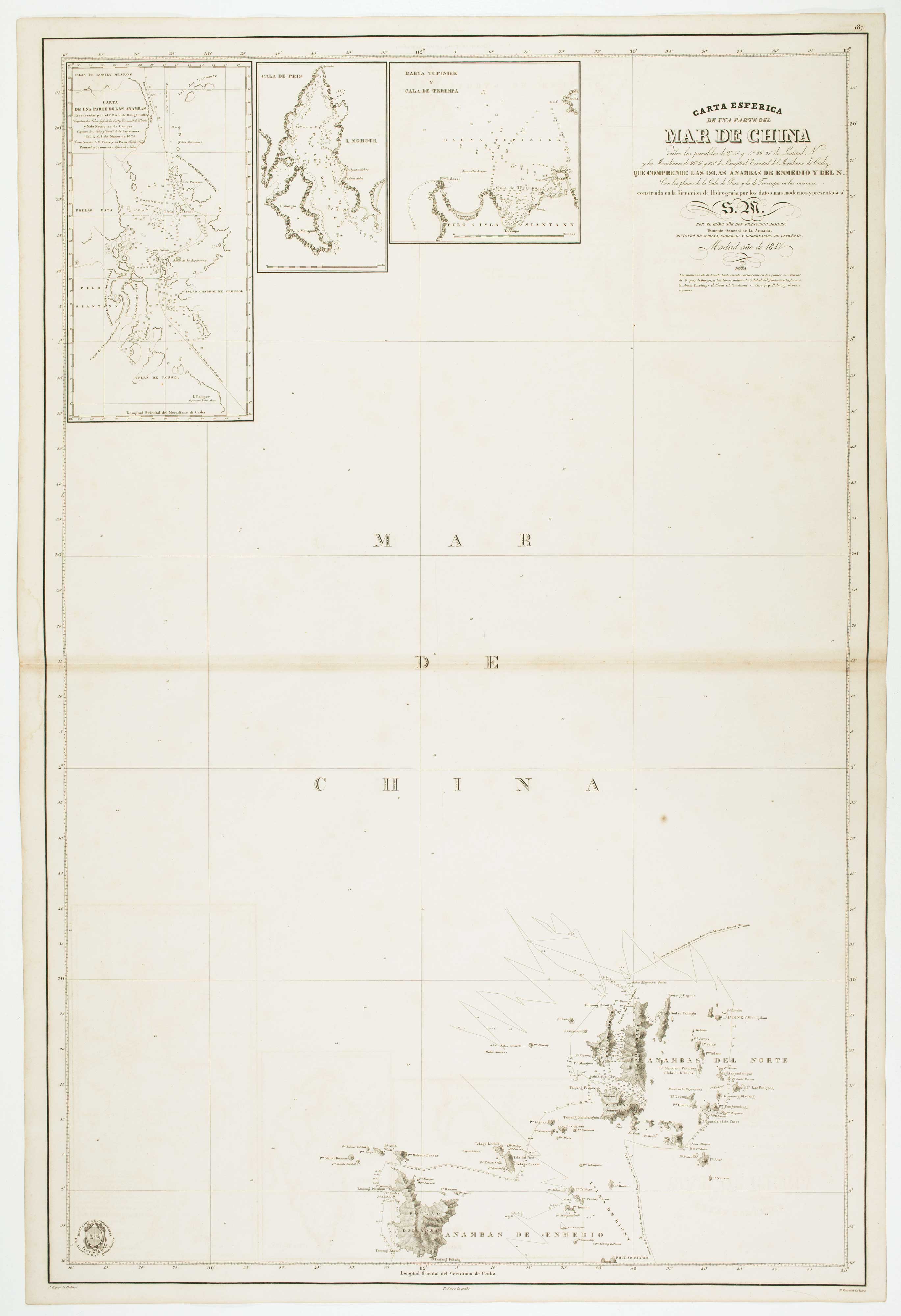


Altea Antique Maps & Charts
Altea Gallery Ltd, 35 St George Street
London
W1S 2FN
United Kingdom
Tel: +44 20 7491 0010
info@alteagallery.com
Sitemap :

