
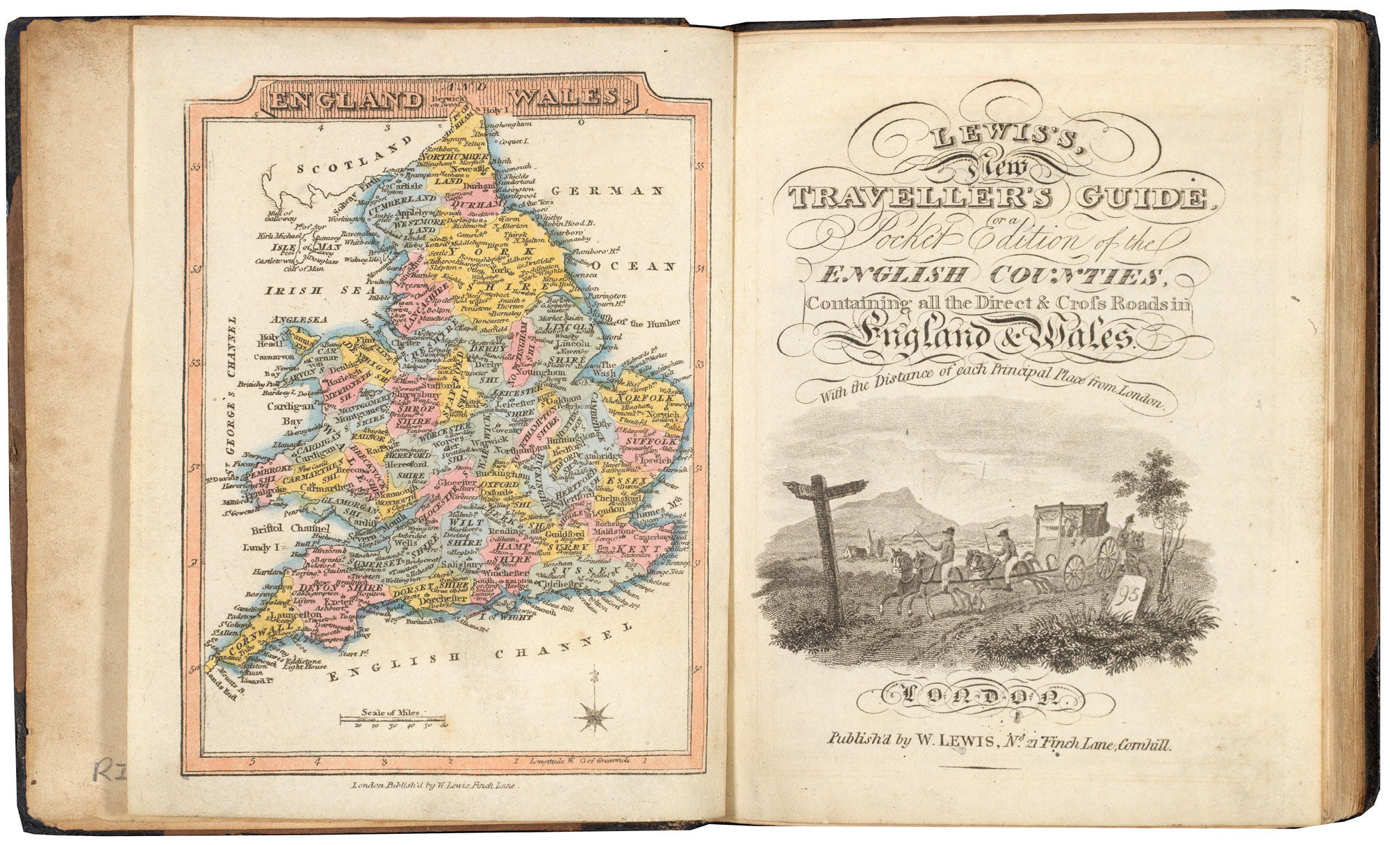
A pocket atlas of England and Wales
WALLIS, James.
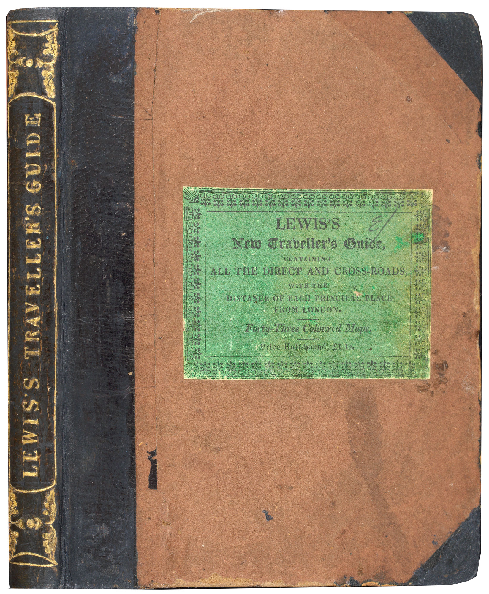
Lewis's New Traveller's Guide, or a Pocket Edition of the English Counties, Containing all the Direct & Cross Roads in England and Wales. With the Distance of each Principal Place from London.
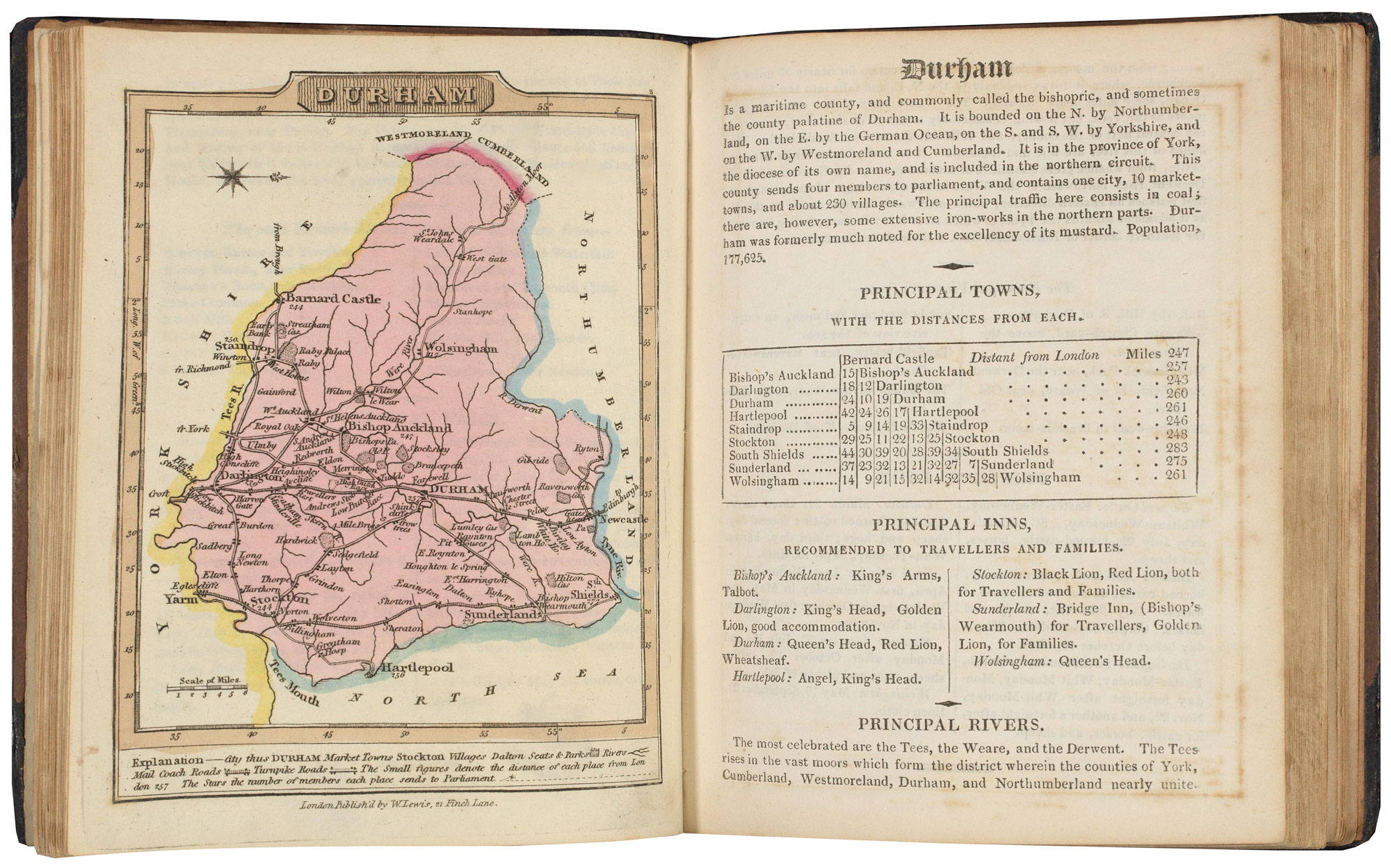
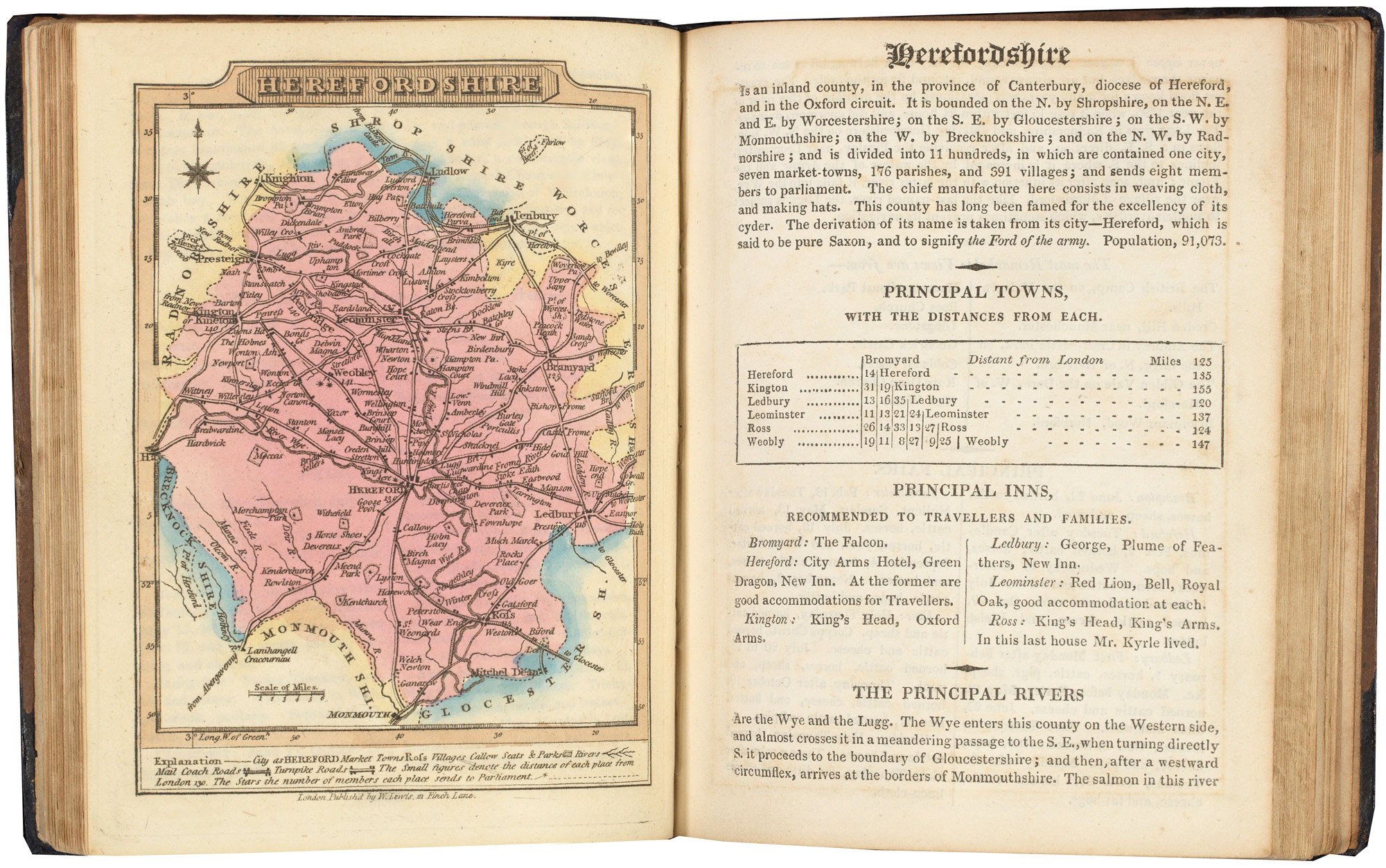
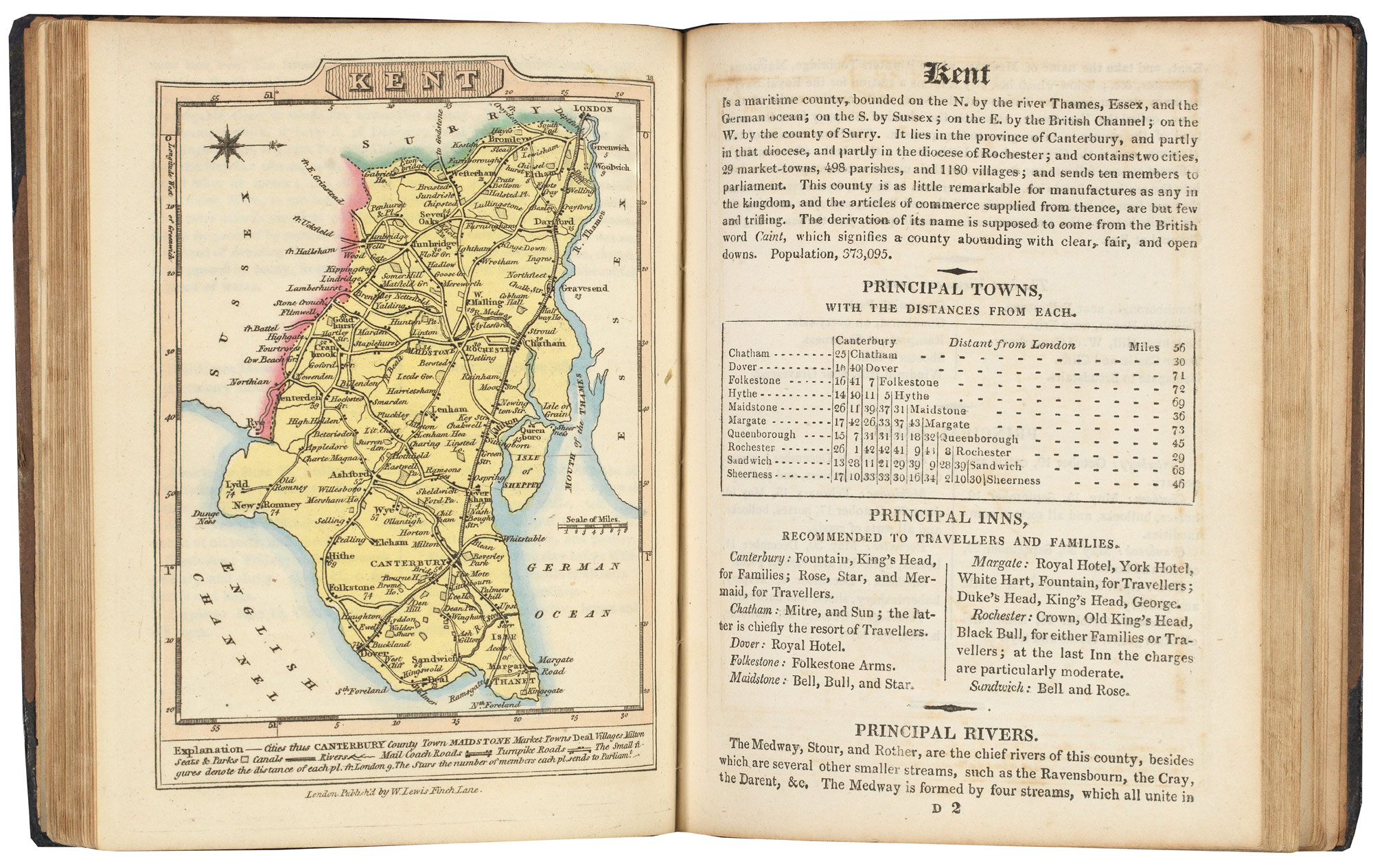
London: William Lewis, 1819-27. Octavo, original half calf gilt, publisher's label on fron board; frontispiece general map in original colour, engr. title, pp. (viii), and 42 maps in original colour (one folding), as called for, each with 2pp. text.
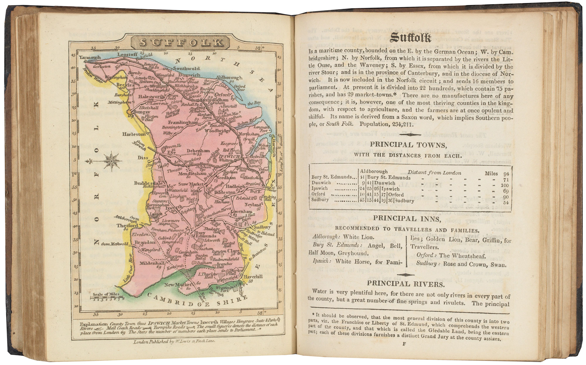
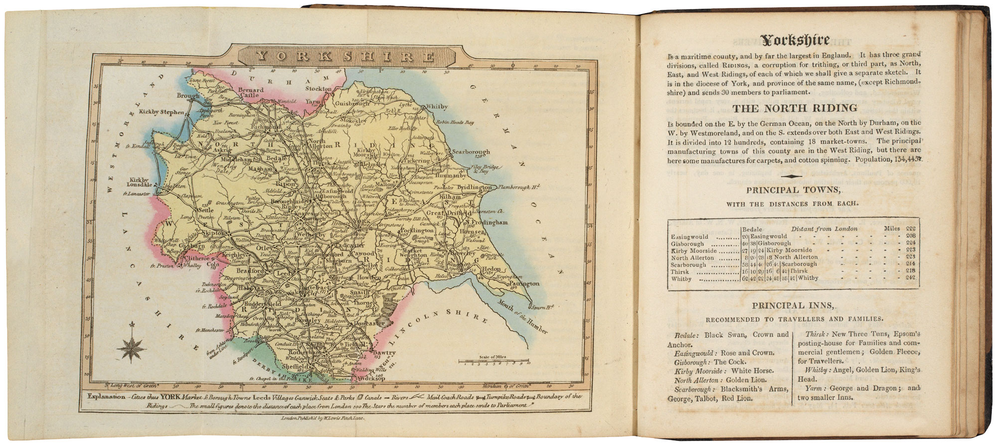
A good example of this miniature atlas with beautiful original colouring, containing a map of England & Wales, 40 maps of English counties and maps of North and South Wales, a total of 43 maps. Although the preface is dated 1819, the folding map (Yorkshire) has a watermark of 1827. There appear to be no changes to the 1819 edition.
Stock ID : 20636
£900
£900

A pocket atlas of England and Wales
WALLIS, James.
Lewis's New Traveller's Guide, or a Pocket Edition of the English Counties, Containing all the Direct & Cross Roads in England and Wales. With the Distance of each Principal Place from London.
London: William Lewis, 1819-27. Octavo, original half calf gilt, publisher's label on fron board; frontispiece general map in original colour, engr. title, pp. (viii), and 42 maps in original colour (one folding), as called for, each with 2pp. text.
A good example of this miniature atlas with beautiful original colouring, containing a map of England & Wales, 40 maps of English counties and maps of North and South Wales, a total of 43 maps. Although the preface is dated 1819, the folding map (Yorkshire) has a watermark of 1827. There appear to be no changes to the 1819 edition.
Stock ID : 20636
£900
£900


Altea Antique Maps & Charts
Altea Gallery Ltd, 35 St George Street
London
W1S 2FN
United Kingdom
Tel: +44 20 7491 0010
info@alteagallery.com
Sitemap :

