

A fine 18th century miniature atlas of the coasts of France
BONNE, Rigobert.
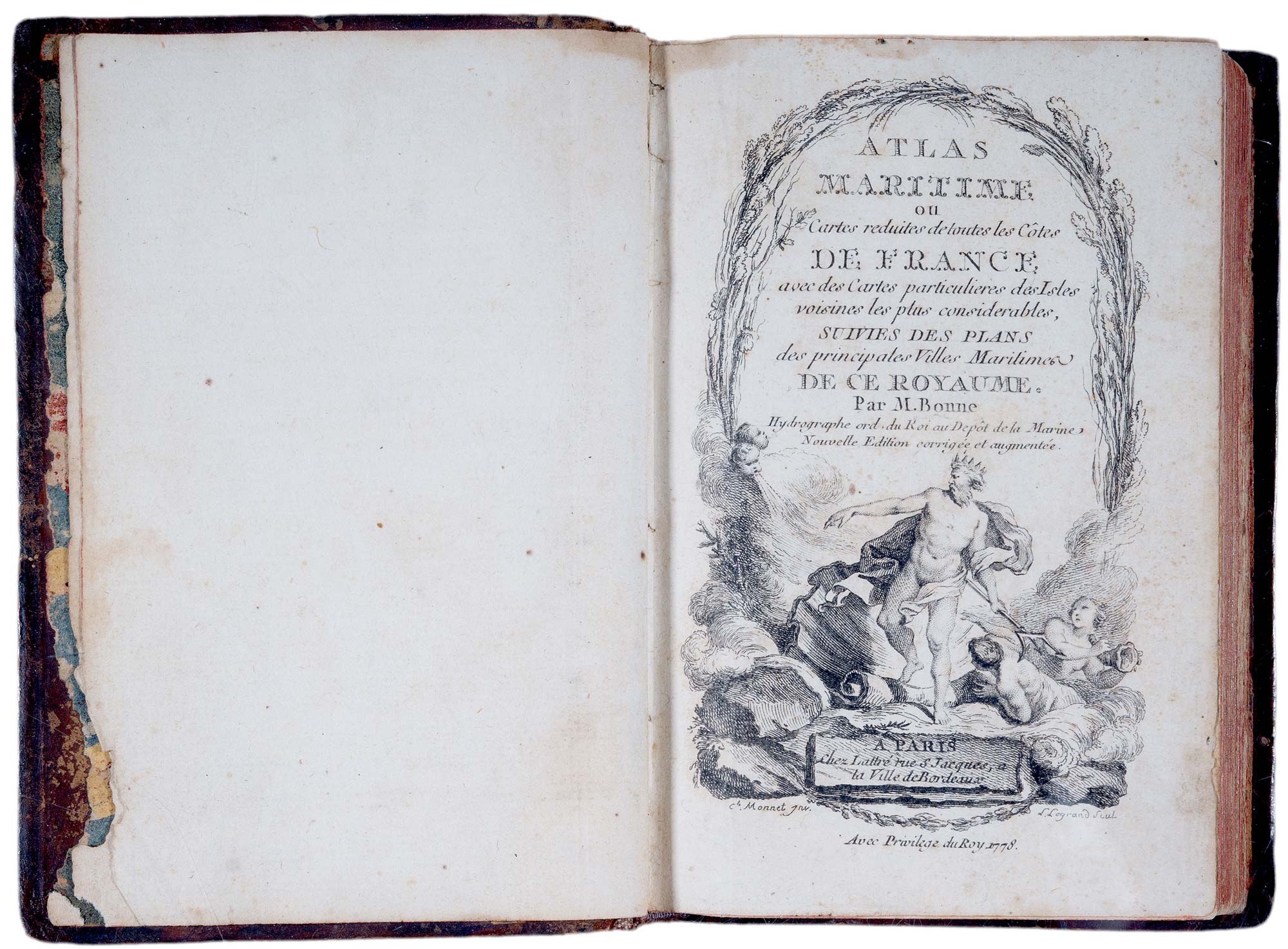
Atlas Maritime ou Cartes reduites de toutes les Côtes de France. Avec des Cartes particulieres des Isles voisines les plus considérables, Suivies des Plans des principales Villes Maritimes de ce Royaume.
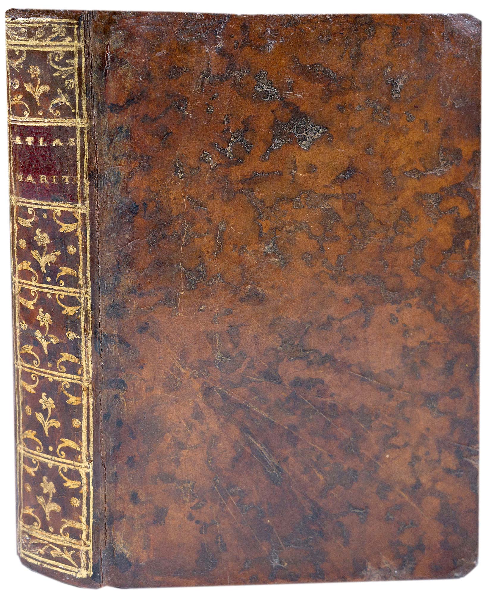
Paris: Lattré, 1778. 16mo (130 x 90mm), contemporary full mottled calf, gilt decorated spine, marbled endpapers; engraved title, and 35 numbered maps in original colour, as called for, pp. (4)(incl. index of maps) + pp. 31-49 (descriptions of towns).
Some spotting throughout.
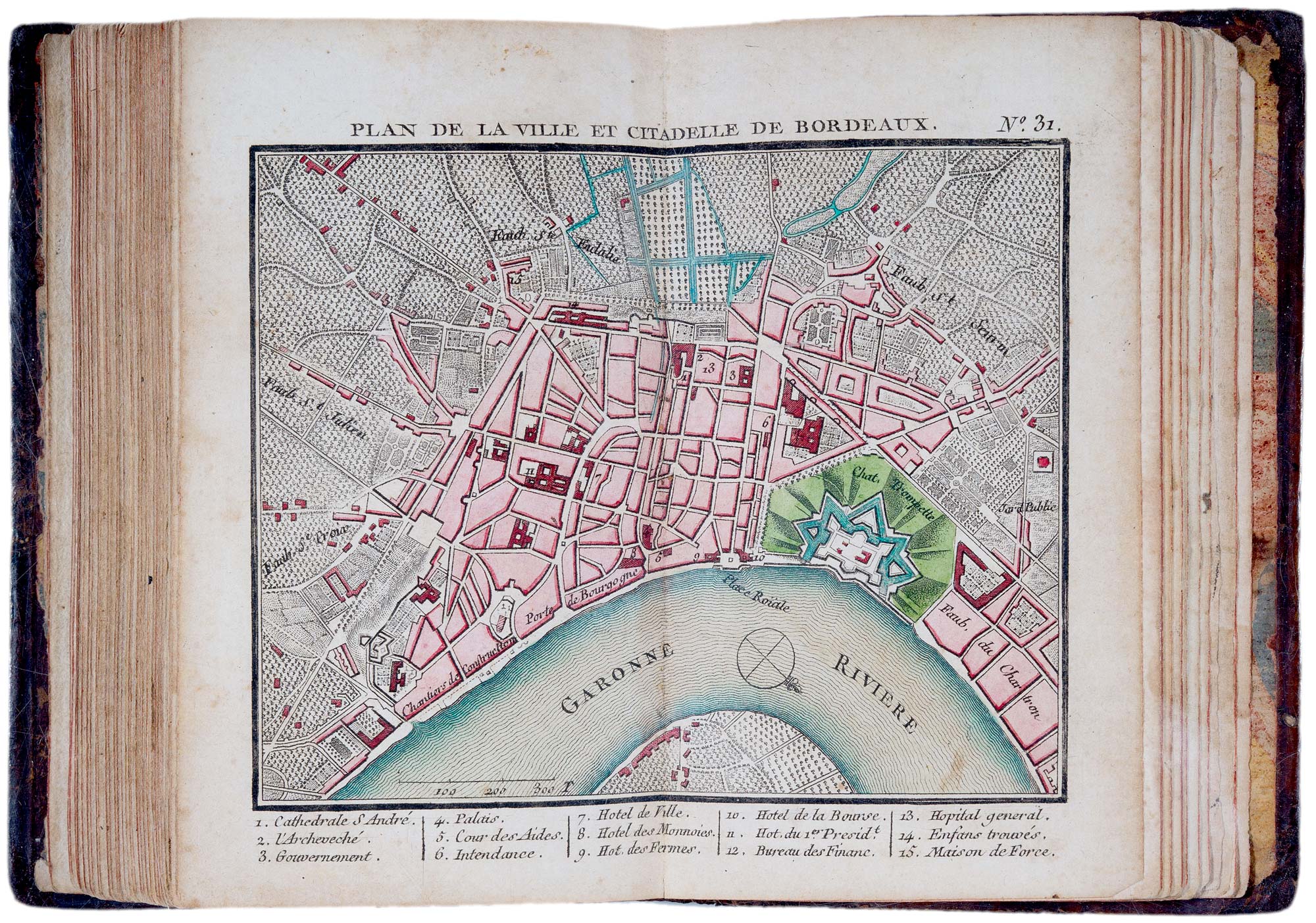
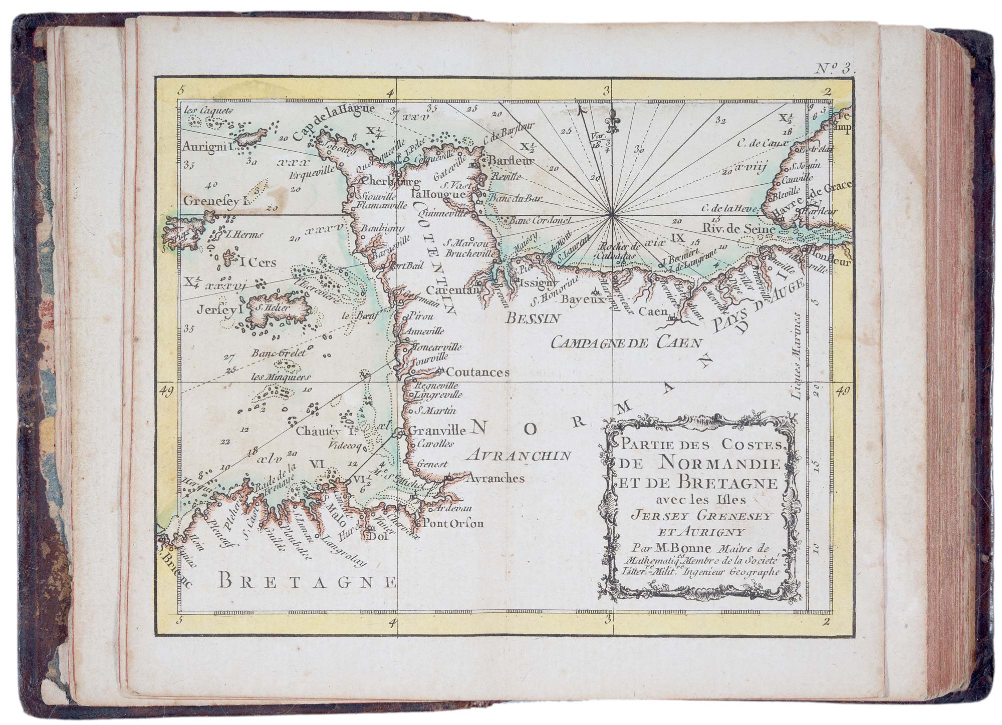
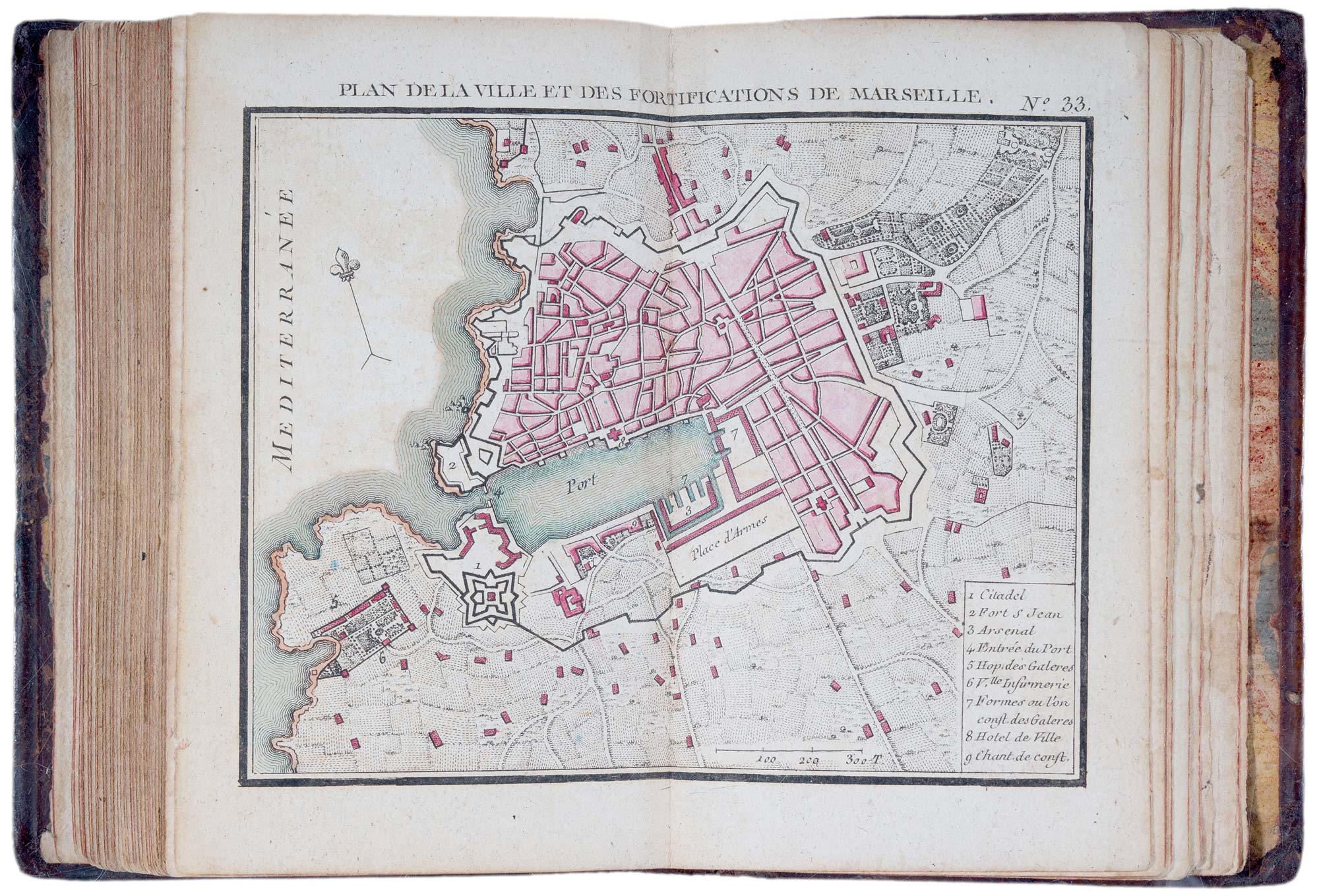
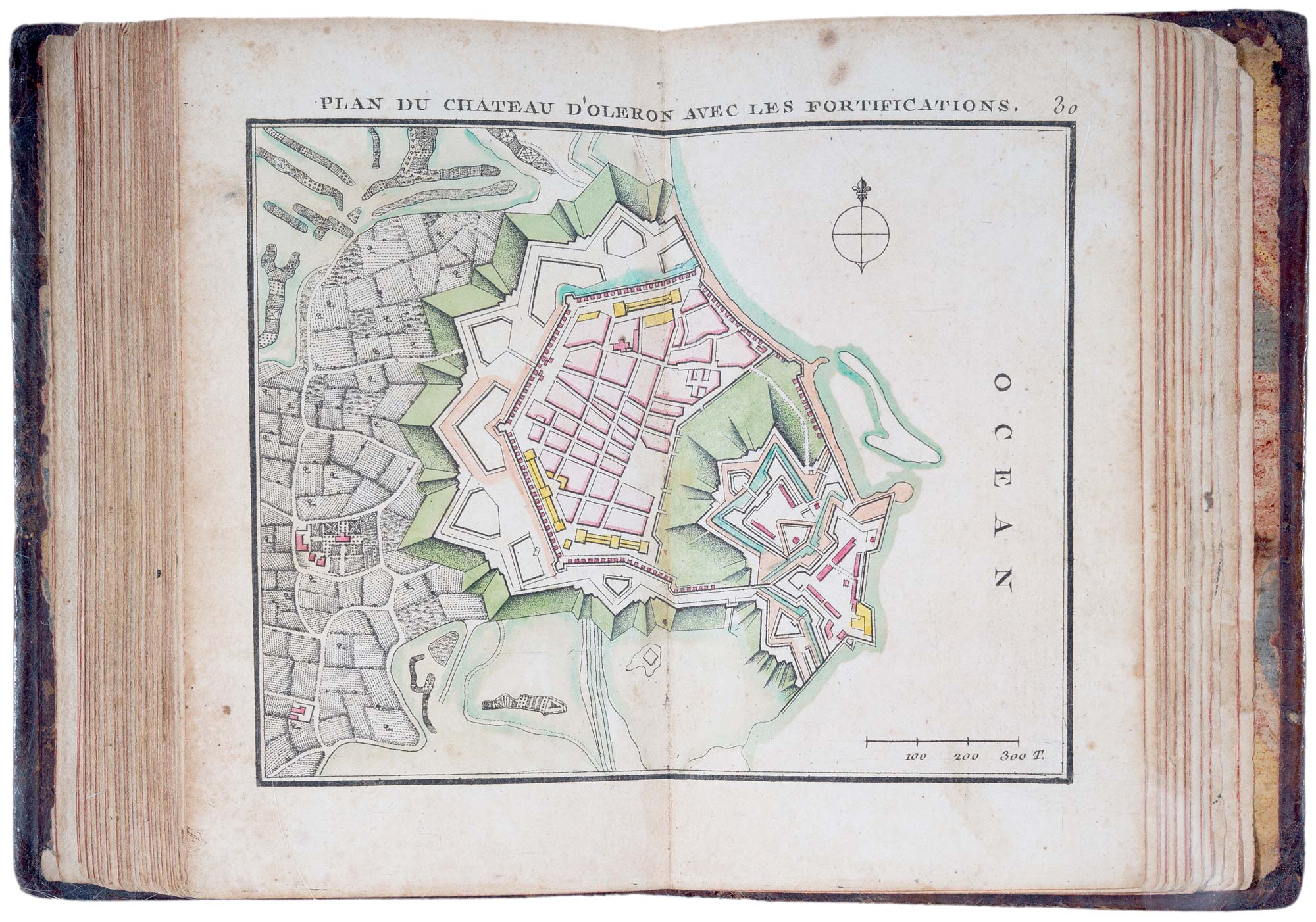
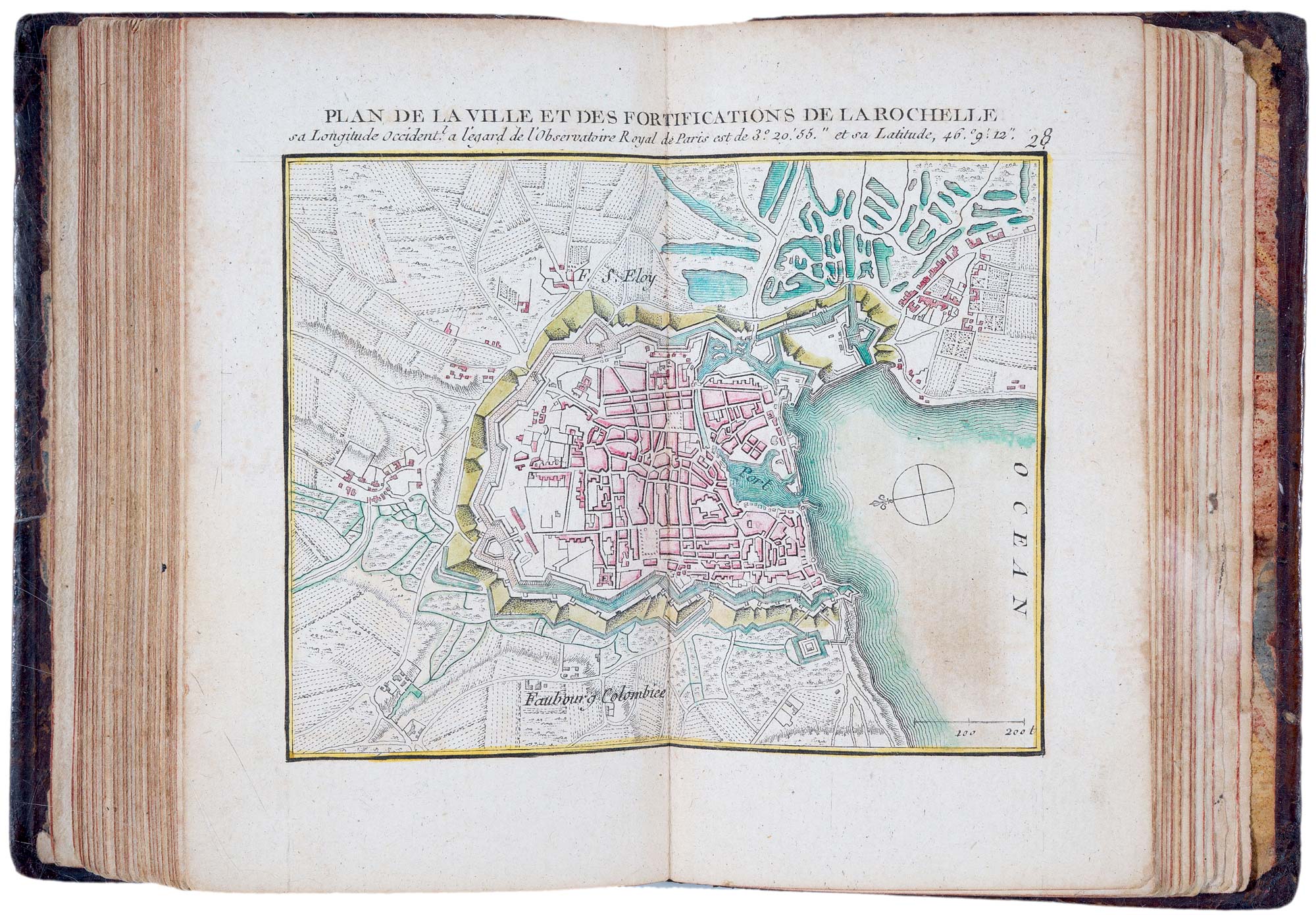
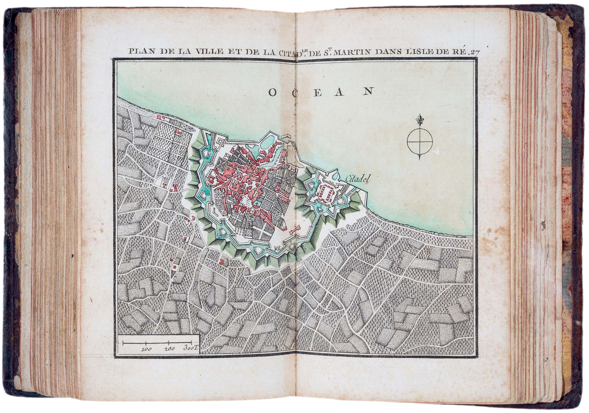
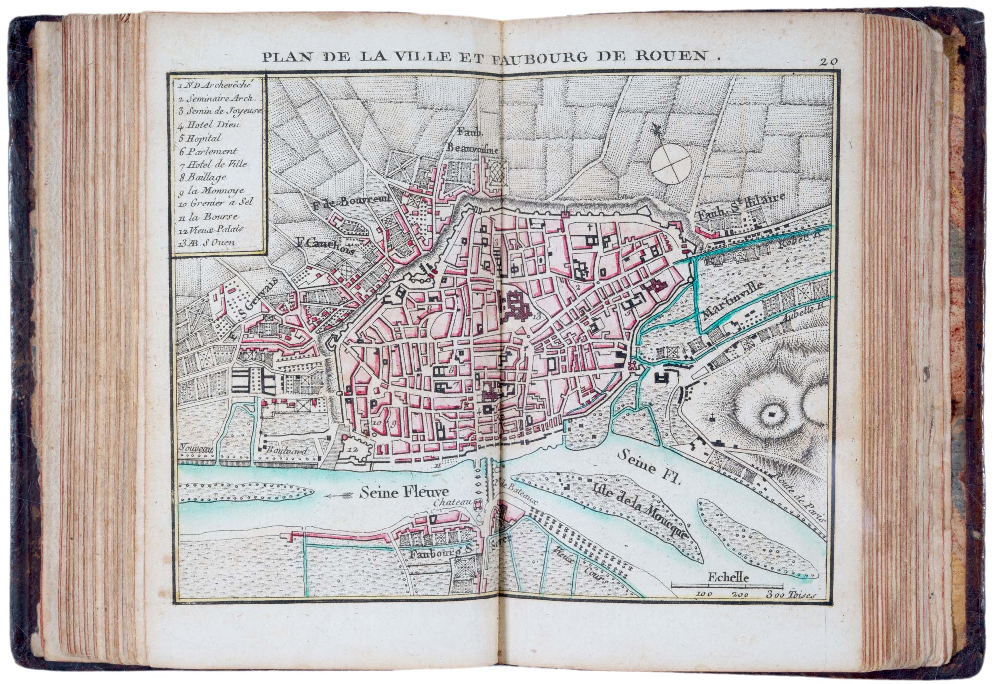
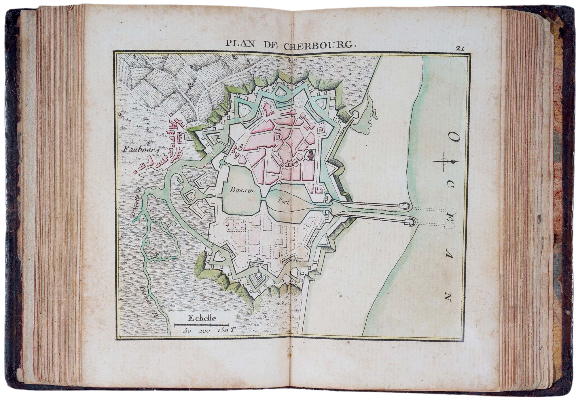
A charming pocket atlas containing 13 charts of the coasts and islands of France and 22 townplans, all with fine original hand colour.
Originally published in 1762, during the Seven Years' War with Britain
Stock ID : 21944
£2,700
£2,700

A fine 18th century miniature atlas of the coasts of France
BONNE, Rigobert.
Atlas Maritime ou Cartes reduites de toutes les Côtes de France. Avec des Cartes particulieres des Isles voisines les plus considérables, Suivies des Plans des principales Villes Maritimes de ce Royaume.
Paris: Lattré, 1778. 16mo (130 x 90mm), contemporary full mottled calf, gilt decorated spine, marbled endpapers; engraved title, and 35 numbered maps in original colour, as called for, pp. (4)(incl. index of maps) + pp. 31-49 (descriptions of towns).
Some spotting throughout.
A charming pocket atlas containing 13 charts of the coasts and islands of France and 22 townplans, all with fine original hand colour.
Originally published in 1762, during the Seven Years' War with Britain
Stock ID : 21944
£2,700
£2,700


Altea Antique Maps & Charts
Altea Gallery Ltd, 35 St George Street
London
W1S 2FN
United Kingdom
Tel: +44 20 7491 0010
info@alteagallery.com
Sitemap :

