Showing 253–264 of 292 results
-

The British Flanders Campaign of the French Revolutionary War
£1,250KITCHIN, Thomas.
Published In 1794
Stock No. 15434 -

The first leaflet map of the ‘London Underground’
£850METROPOLITAN RAILWAY.
Published In 1908
Stock No. 15226 -

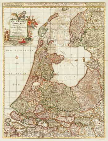
Large and decorative 17th century map of Holland
£600VISSCHER, Nicolas Jansz.
Published In 1690
Stock No. 15109 -

Early town plan of Brussels
£220GUICCIARDINI, Ludovico.
Published In 1648
Stock No. 15001 -

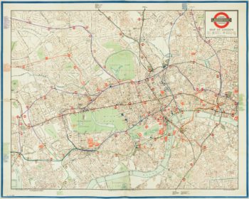
The Quad-Royal poster map with Central London’s Underground
£3,000BACON, George Washington.
Published In 1934
Stock No. 14983 -

Pre-war London Transport poster
£1,500LONDON TRANSPORT.
Published In 1935
Stock No. 14870 -

18th century map of Bohemia
£150SEUTTER, Matthaus.
Published In 1760
Stock No. 14746 -

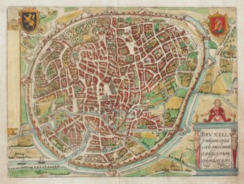
16th century town plan of Brussels
£900BRAUN, Georg & HOGENBERG, Frans.
Published In 1572
Stock No. 14660 -
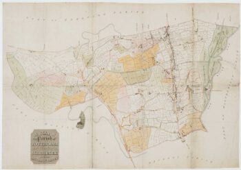
A Georgian map of Tottenham
£300BOWLER & TRIQUET.
Published In 1818
Stock No. 14422 -

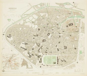
19th century plan of Brussels
£60Society for the Diffusion of Useful Knowledge.
Published In 1837
Stock No. 13838 -

Panorama of Vienna under siege by the Ottomans
£800SUTTINGER, Daniel.
Published In 1683
Stock No. 13748 -

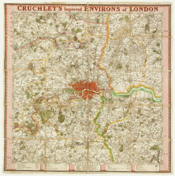
A late-Georgian map of London
£800CRUCHLEY, George Frederick.
Published In 1827
Stock No. 13737