
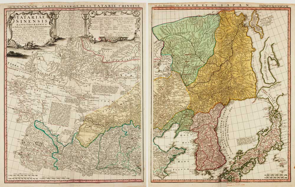
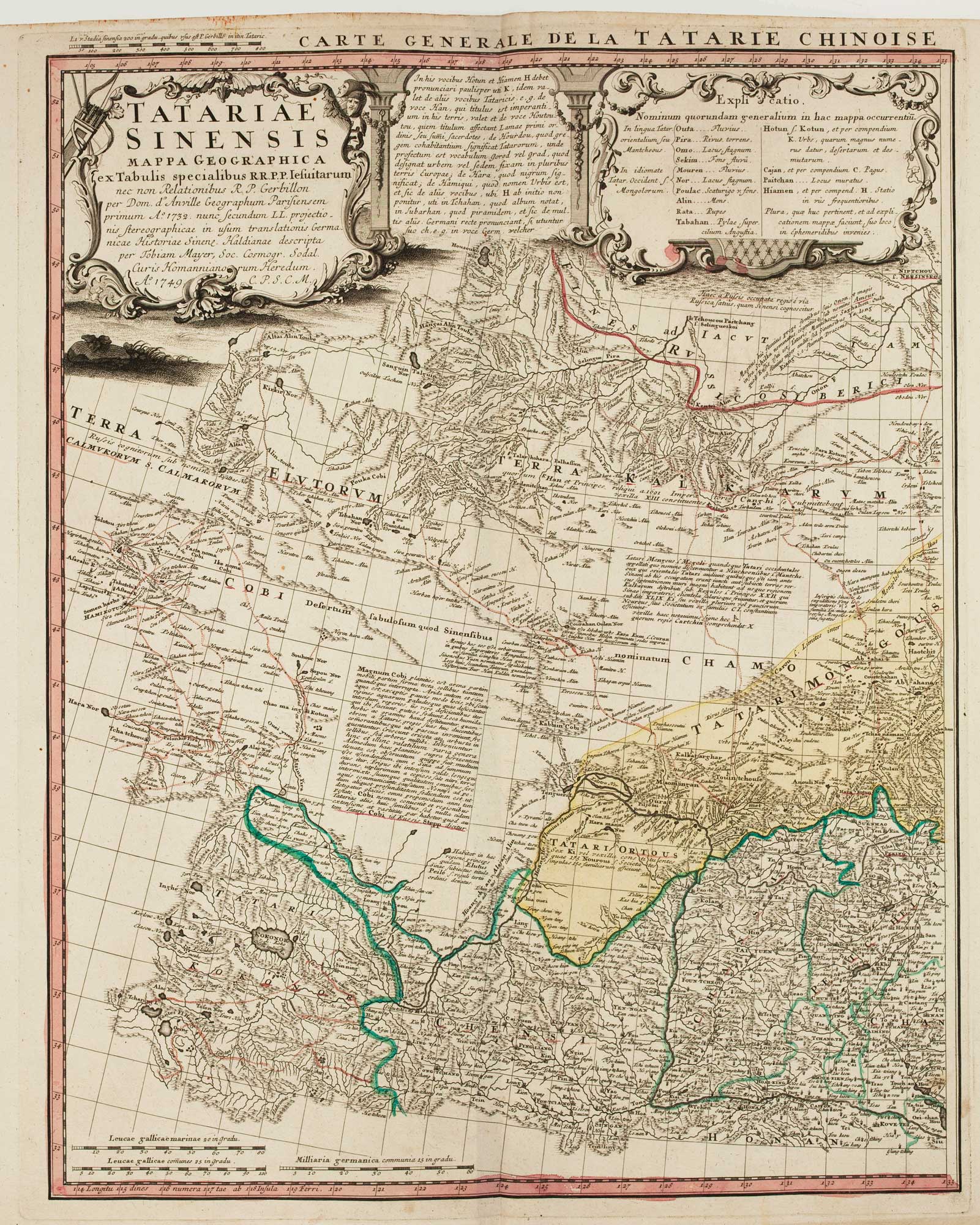

An 18th century two-sheet map of Chinese Tartary
HOMANN HEIRS.
Tartariae Sinensis Mappa Geographica... Tartariae Sinensis Mappa Geographica et des Royaumes de Corée et de Japan.
Nuremberg, 1749. Original colour. Two sheets, each c.510 x 400mm.
A detailed map of Korea and Manchuria as well as two islands of 'Ezo' and Sakhalin, prepared by Jean-Baptiste Bourguignon d'Anville (1697-1782), the main source for European mapping of Korea and Japan.
Stock ID : 15822
£770
£770


Altea Antique Maps & Charts
Altea Gallery Ltd, 35 St George Street
London
W1S 2FN
United Kingdom
Tel: +44 20 7491 0010
info@alteagallery.com
Sitemap :

